Munkbron, Stockholm
Map

Map

Facts and practical information
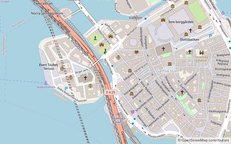
Munkbron is a public square on the western waterfront of Gamla stan, the old town in central Stockholm, Sweden. Connected to the square are Stora Gråmunkegränd, Gåsgränd, Lilla Nygatan, Yxsmedsgränd, and Munkbrogatan; while the traffic route Munkbroleden separates it from the canal Riddarholmskanalen. The square is divided into a northern and a southern part by the block Aurora in which the so-called Petersen House is found. ()
Address
Munkbron 1Södermalm (Storkyrkan)Stockholm
ContactAdd
Social media
Add
Day trips
Munkbron – popular in the area (distance from the attraction)
Nearby attractions include: House of Nobility, Birger Jarls torg, Riddarholmsbron, Bonde Palace.
Frequently Asked Questions (FAQ)
Which popular attractions are close to Munkbron?
Nearby attractions include Stora Gråmunkegränd, Stockholm (1 min walk), Riddarhustorget, Stockholm (2 min walk), Riddarholmsbron, Stockholm (2 min walk), Helga Lekamens Gränd, Stockholm (2 min walk).
How to get to Munkbron by public transport?
The nearest stations to Munkbron:
Bus
Metro
Ferry
Train
Tram
Bus
- Riddarhustorget • Lines: 3, 53 (1 min walk)
- Mälartorget • Lines: 3, 53 (4 min walk)
Metro
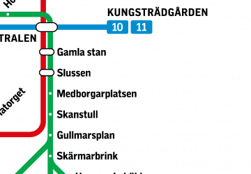
- Gamla stan • Lines: 13, 14, 17, 18, 19 (3 min walk)
- Slussen • Lines: 13, 14, 17, 18, 19 (12 min walk)
Ferry
- Riddarholmen • Lines: Båt (5 min walk)
- Slussen • Lines: 18, 24, 82 (9 min walk)
Train
- Stockholms central (17 min walk)
- Stockholm City (15 min walk)
Tram
- T-Centralen • Lines: 7 (14 min walk)
- Kungsträdgården • Lines: 7 (15 min walk)

 Metro
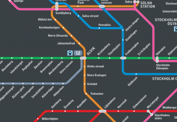
Metro Rail network map


