Tornbergssjön, Södertörn
Map

Map

Facts and practical information
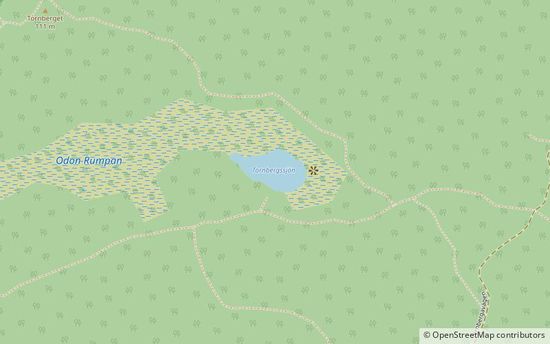
Tornbergssjön is a lake of Södermanland, Sweden. The lake inherits its name from the nearby peak Tornberget, which at 111 meters above sea level is the highest point in Stockholm County. ()
Alternative names: Area: 2.47 acres (0.0039 mi²)Elevation: 299 ft a.s.l.Coordinates: 59°8'4"N, 18°1'24"E
Address
Södertörn
ContactAdd
Social media
Add
Day trips
Tornbergssjön – popular in the area (distance from the attraction)
Nearby attractions include: Övre Rudasjön, Nedre Rudasjön, Kärrsjön, Stockholm Sweden Temple.
Frequently Asked Questions (FAQ)
Which popular attractions are close to Tornbergssjön?
Nearby attractions include Långsjön, Södertörn (21 min walk), Svartsjön, Södertörn (23 min walk).
How to get to Tornbergssjön by public transport?
The nearest stations to Tornbergssjön:
Bus
Bus
- Västra skolan • Lines: 848 (30 min walk)


