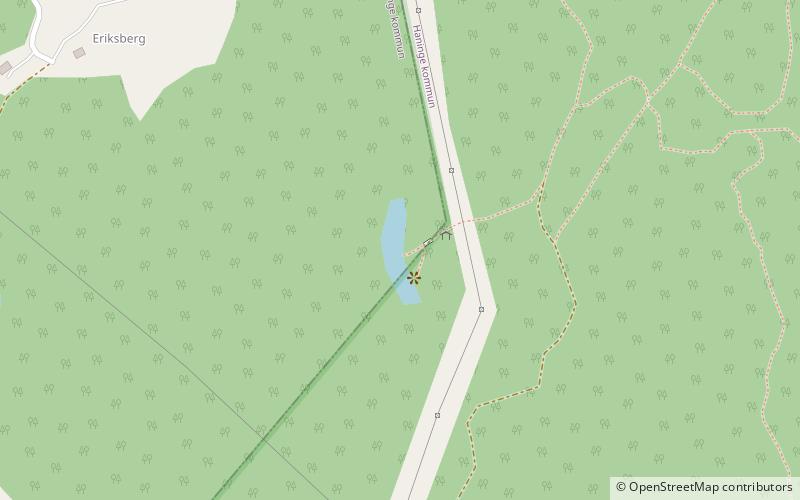
Trylen, Södertörn
Map

Map

Facts and practical information
Alternative names: Area: 4.94 acres (0.0077 mi²)Maximum depth: 12 ftElevation: 164 ft a.s.l.Coordinates: 59°10'0"N, 18°6'26"E
Address
Södertörn
ContactAdd
Social media
Add
Day trips
Trylen – popular in the area (distance from the attraction)
Nearby attractions include: Övre Rudasjön, Nedre Rudasjön, Dammträsk, Handens muséum & Smedja.
Frequently Asked Questions (FAQ)
How to get to Trylen by public transport?
The nearest stations to Trylen:
Bus
Train
Bus
- Lillsjövägen • Lines: 827, 865 (13 min walk)
- Lillsjövägen södra • Lines: 827, 837, 842 (19 min walk)
Train
- Handen (25 min walk)


