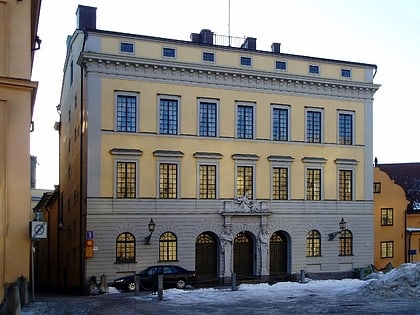
Stockholms ström, Stockholm
Map
Map

Facts and practical information
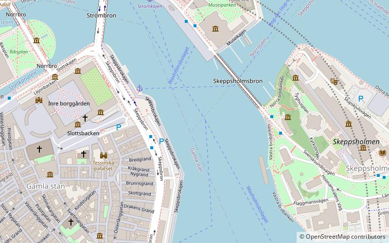
Stockholms ström, also known as Strömmen, in Stockholm is the innermost part of Saltsjön, a bay of the Baltic Sea. It continues into Lake Mälaren through Norrström and Söderström. ()
Address
Stockholm
ContactAdd
Social media
Add
Day trips
Stockholms ström – popular in the area (distance from the attraction)
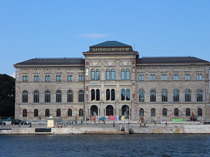
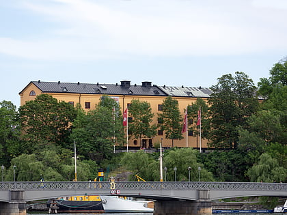
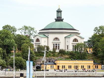
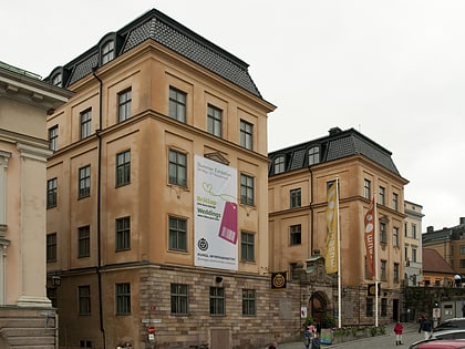
Nearby attractions include: Nationalmuseum, Royal Armoury, Museum of Far Eastern Antiquities, Skeppsholmen Church.
Frequently Asked Questions (FAQ)
Which popular attractions are close to Stockholms ström?
Nearby attractions include Skeppsbron, Stockholm (2 min walk), Skeppsholmsbron, Stockholm (3 min walk), Bredgränd, Stockholm (3 min walk), Skeppar Karls Gränd, Stockholm (3 min walk).
How to get to Stockholms ström by public transport?
The nearest stations to Stockholms ström:
Bus
Ferry
Metro
Tram
Train
Bus
- Slottsbacken • Lines: 190, 191, 192, 193, 194, 195, 2, 57, 76, 96 (2 min walk)
- Östasiatiska museet • Lines: 65 (4 min walk)
Ferry
- Slussen • Lines: 18, 24, 82 (6 min walk)
- Strömkajen • Lines: 12, 13, 14, 18, 24, 8, 9, Royal Canal Tour (6 min walk)
Metro
- Kungsträdgården • Lines: 10, 11 (10 min walk)
- Gamla stan • Lines: 13, 14, 17, 18, 19 (11 min walk)
Tram
- Styrmansgatan • Lines: 7 (12 min walk)
- Nybroplan • Lines: 7 (12 min walk)
Train
- Stockholms central (22 min walk)
- Stockholm City (20 min walk)

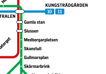 Metro
Metro Rail network map