Brännö Lagård, Brännö

Gallery (1)
Map
Map
Facts and practical information
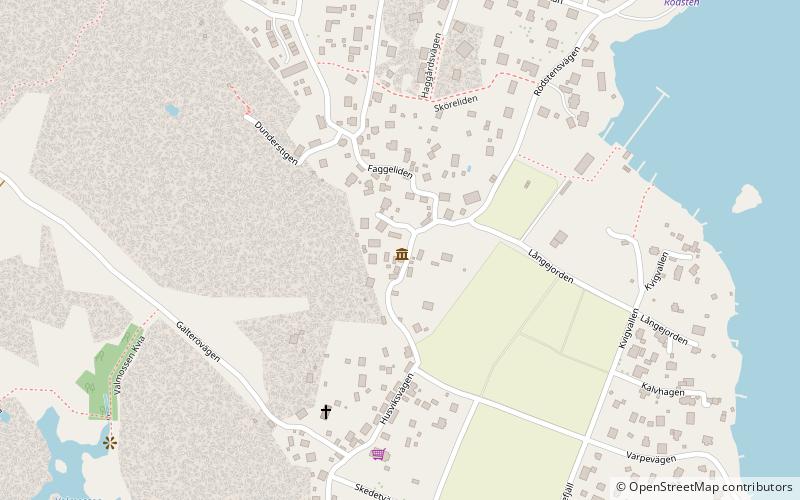
Brännö Lagård (address: Husviksvägen 17) is a place located in Brännö (Västra Götaland county) and belongs to the category of museum.
It is situated at an altitude of 52 feet, and its geographical coordinates are 57°38'43"N latitude and 11°46'46"E longitude.
Among other places and attractions worth visiting in the area are: Asperö, Gothenburg Archipelago (island, 18 min walk), Styrsö (island, 52 min walk), Vargö (island, 52 min walk).
Coordinates: 57°38'43"N, 11°46'46"E
Address
Husviksvägen 17Södra SkärgårdenBrännö
ContactAdd
Social media
Add
Day trips