Gårdlösa

Map
Facts and practical information
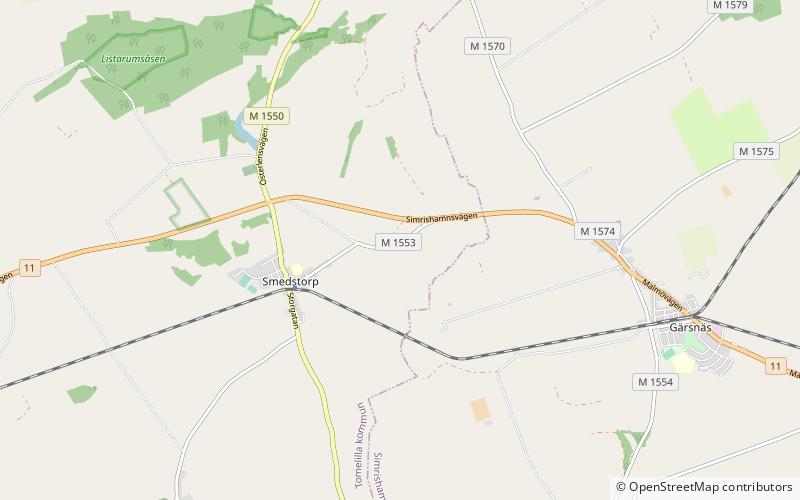
Gårdlösa is the site of an Iron Age settlement in the parish of Smedstorp in Skåne, Sweden. It was inhabited shortly during the late Nordic Bronze Age, and from the 1st century BC–11th century AD. ()
Coordinates: 55°33'12"N, 14°8'7"E
Location
Skåne
ContactAdd
Social media
Add
Day trips
Gårdlösa – popular in the area (distance from the attraction)
Nearby attractions include: Glimmingehus, Bollerup, Smedstorp Castle, Tunbyholm Castle.


