Gullmarsplan, Stockholm
Map

Gallery

Facts and practical information
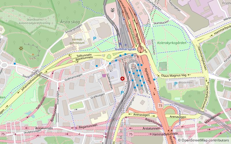
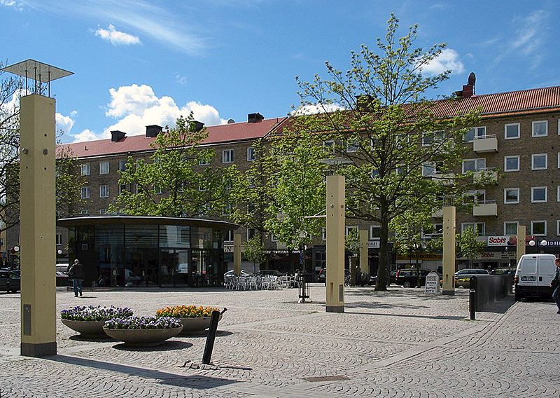
Gullmarsplan is a place in Johanneshov, Stockholm. The square there was built at the same time the new city area was developed in the 1940s. The business area around the square was inaugurated in 1946. It was named after Gullmarn, a fjord in the province of Bohuslän, at Lysekil. ()
Day trips
Gullmarsplan – popular in the area (distance from the attraction)
Nearby attractions include: Avicii Arena, Tele2 Arena, Eriksdalsbadet, Sofia Church.
Frequently Asked Questions (FAQ)
Which popular attractions are close to Gullmarsplan?
Nearby attractions include Johanneshovsbron, Södertörn (5 min walk), Fredriksdalsbron, Stockholm (6 min walk), Johanneshov, Stockholm (8 min walk), Skansbron, Stockholm (9 min walk).
How to get to Gullmarsplan by public transport?
The nearest stations to Gullmarsplan:
Bus
Metro
Tram
Ferry
Train
Bus
- Gullmarsplan • Lines: 144, 160, 164, 168, 188, 193, 194, 195, 4, 791, 794, 796, 801, 802, 804, 805, 806, 807, 808, 809, 810, 814, 816, 822, 823, 873, 875, 890, 892, 893, 94 (1 min walk)
- Sköntorpsplan • Lines: 160, 164 (9 min walk)
Metro
- Gullmarsplan • Lines: 17, 18, 19 (2 min walk)
- Globen • Lines: 19 (9 min walk)
Tram
- Gullmarsplan • Lines: 30 (2 min walk)
- Globen • Lines: 30 (9 min walk)
Ferry
- Lumabryggan • Lines: Sjöstadstrafiken (22 min walk)
- Barnängsbryggan • Lines: Sjöstadstrafiken (24 min walk)
Train
- Stockholms södra (32 min walk)
- Henriksdal (36 min walk)

 Metro
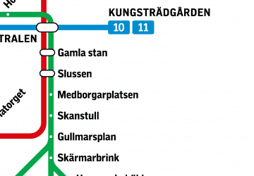
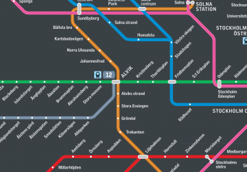
Metro Rail network map


