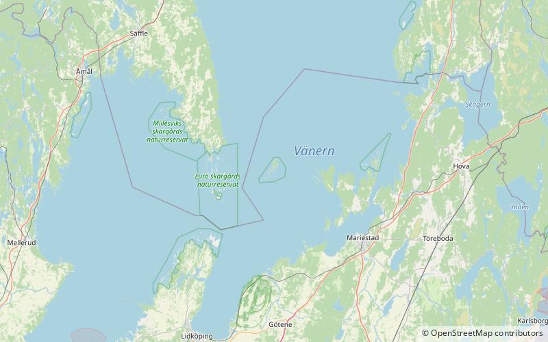
Djurö National Park
Map

Map

Facts and practical information
Djurö is an island, a surrounding archipelago of some 30 islands, and a national park situated in Sweden's biggest lake, Vänern. Established in 1991, the national park has an area of 24 km2, and includes all the islands of the archipelago. ()
Local name: Djurö, Vänern Established: 1991 (35 years ago)Area: 8.97 mi²Elevation: 148 ft a.s.l.Coordinates: 58°50'50"N, 13°27'55"E
Location
Västra Götaland
ContactAdd
Social media
Add
Day trips
Djurö National Park – popular in the area (distance from the attraction)
Nearby attractions include: Vänern.

