Öland Bridge
Map

Map

Facts and practical information
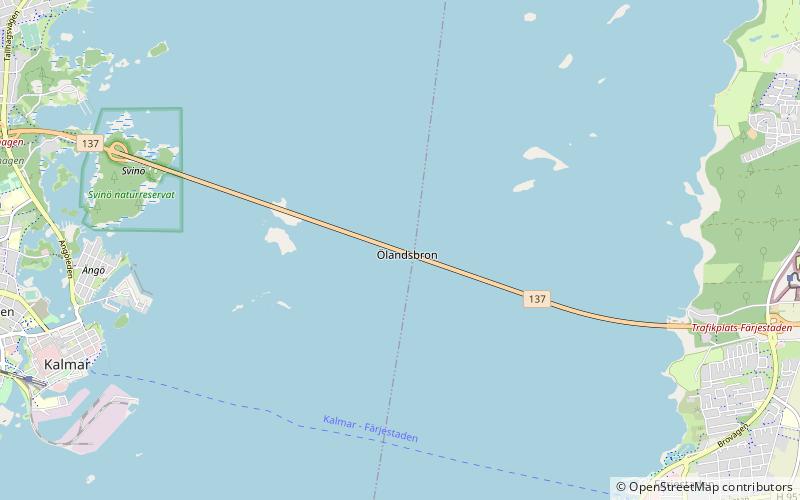
The Öland Bridge is a road bridge connecting Kalmar on mainland Sweden to Färjestaden on the island of Öland to its east. At 6,072 meters long, it is one of the longest in all of Europe. It is supported by 156 pillars, and has a characteristic hump at its western end which was created to provide a vertical clearance of 36 m for shipping. ()
Local name: Ölandsbron Opened: 30 September 1972 (53 years ago)Length: 3.77 miWidth: 43 ftCoordinates: 56°40'25"N, 16°25'24"E
Location
Kalmar
ContactAdd
Social media
Add
Day trips
Öland Bridge – popular in the area (distance from the attraction)
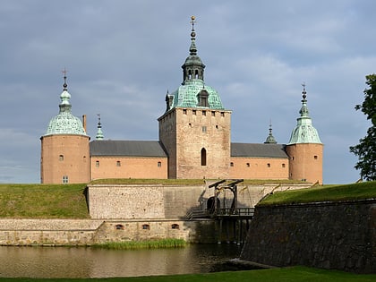
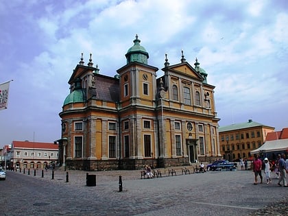
Nearby attractions include: Kalmar Castle, Kalmar Cathedral, Ölands Djur & Nöjespark, Karlevi Runestone.


