Stadshuset, Västerås
Map
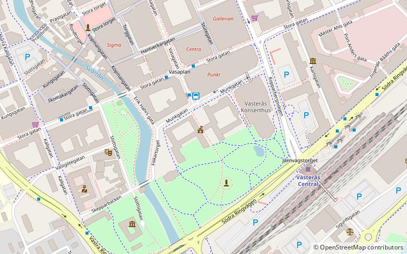
Map

Facts and practical information
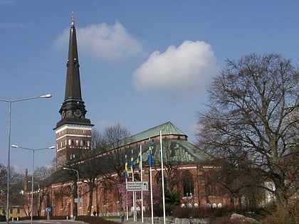
Västerås City Hall is located some forty metres east of the Svartån river in the centre of Västerås, and the tower itself is 65 metres high, making it the fifth tallest building in Västerås, after the Lillhäradsmasten, Västerås power station, Västerås Cathedral and Skrapan. The building is the seat of the municipality's political leadership and its administration.
Coordinates: 59°36'31"N, 16°32'51"E
Address
Västerås
ContactAdd
Social media
Add
Day trips
Stadshuset – popular in the area (distance from the attraction)
Nearby attractions include: Västerås Cathedral, Igor, Västerås Castle, Bondtorget.
Frequently Asked Questions (FAQ)
Which popular attractions are close to Stadshuset?
Nearby attractions include Västerås Castle, Västerås (5 min walk), Västmanland County Museum & Västerås Museum of Art, Västerås (5 min walk), Bondtorget, Västerås (6 min walk), Västerås Stadsbibliotek, Västerås (9 min walk).
How to get to Stadshuset by public transport?
The nearest stations to Stadshuset:
Bus
Train
Bus
- VL kundcenter (2 min walk)
- Stora Gatan • Lines: 1, 14, 2, 21, 3, 4, 5, 6 (2 min walk)
Train
- Västerås Central (5 min walk)

