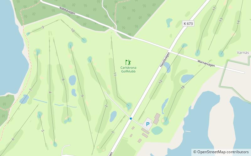
Carlskrona Golfklubb, Karlskrona

Gallery (1)
Map
Map
Facts and practical information
Carlskrona Golfklubb is a place located in Karlskrona (Blekinge county) and belongs to the category of outdoor activities, golf.
It is situated at an altitude of 30 feet, and its geographical coordinates are 56°9'31"N latitude and 15°26'60"E longitude.
Among other places and attractions worth visiting in the area are: Tromtö House (manor house, 36 min walk), Hasslö (island, 83 min walk), Björketorp Runestone (stela, 104 min walk).
Coordinates: 56°9'31"N, 15°26'60"E
Day trips