Tynnyrilaki

Map
Facts and practical information
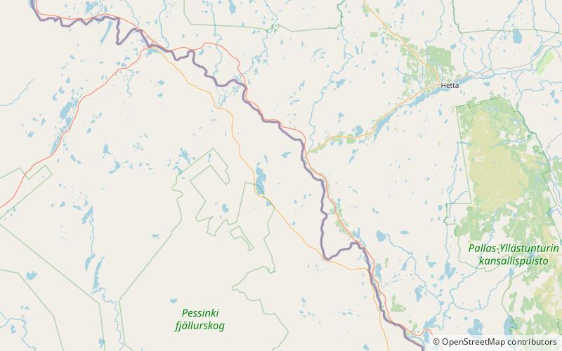
Tynnyrilaki is a 445-meter-high mountain 120 km E. of Kiruna, Sweden. It's the highest point of an area called Pingisvaara. This mountain marks one of the locations for the Struve Geodetic Arc. ()
Location
Norrbotten
ContactAdd
Social media
Add