Svenska Skidförbundet, Falun

Gallery (1)
Map
Map
Facts and practical information
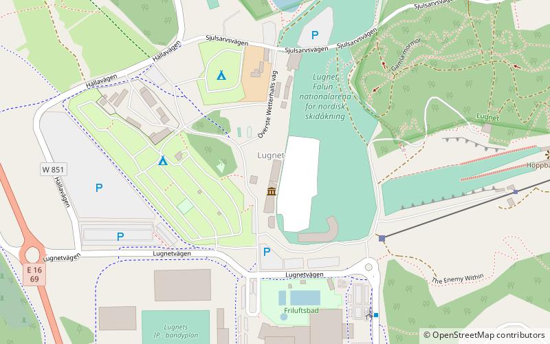
Svenska Skidförbundet (address: Lugnetvägen 16) is a place located in Falun (Dalarna county) and belongs to the category of sightseeing.
It is situated at an altitude of 551 feet, and its geographical coordinates are 60°37'14"N latitude and 15°39'19"E longitude.
Among other places and attractions worth visiting in the area are: Lugnet (sport complex, 9 min walk), Högskolan Dalarna (universities and schools, 12 min walk), Kristine Church (gothic architecture, 31 min walk).
Coordinates: 60°37'14"N, 15°39'19"E
Address
Lugnetvägen 16Falun
ContactAdd
Social media
Add
Day trips


