Nybroplan, Stockholm
Map
Gallery
Facts and practical information
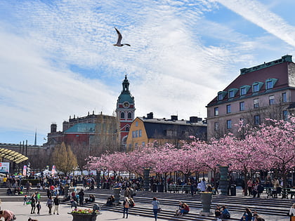
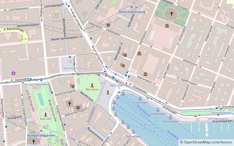
Nybroplan is a public space in central Stockholm, Sweden. Located on the border between the city districts Norrmalm and Östermalm, Nybroplan connects a number of major streets, including Birger Jarlsgatan, Strandvägen, Hamngatan, and Nybrogatan. The squares Norrmalmstorg, Stureplan, and Östermalmstorg are located within 500 metres, as is the park Kungsträdgården. ()
Address
Östermalm (Hedvig Eleonora)Stockholm
ContactAdd
Social media
Add
Day trips
Nybroplan – popular in the area (distance from the attraction)
Nearby attractions include: Biblioteksgatan, Sturecompagniet, NK, Kungsträdgården.
Frequently Asked Questions (FAQ)
Which popular attractions are close to Nybroplan?
Nearby attractions include Royal Dramatic Theatre, Stockholm (1 min walk), Nybrogatan, Stockholm (2 min walk), Hallwyl Museum, Stockholm (2 min walk), Stockholm Music Museum, Stockholm (2 min walk).
How to get to Nybroplan by public transport?
The nearest stations to Nybroplan:
Bus
Tram
Ferry
Metro
Train
Light rail
Bus
- Nybroplan • Lines: 54, 69, 76 (1 min walk)
- Norrmalmstorg • Lines: 2, 96 (4 min walk)
Tram
- Nybroplan • Lines: 7 (1 min walk)
- Kungsträdgården • Lines: 7 (6 min walk)
Ferry
- Nybroplan • Lines: 80, Royal Canal Tour (2 min walk)
- Nybrokajen • Lines: Grand Canal Cruise, Strömma Canal Tour (4 min walk)
Metro
- Östermalmstorg • Lines: 13, 14 (5 min walk)
- Kungsträdgården • Lines: 10, 11 (7 min walk)
Train
- Stockholm City (16 min walk)
- Stockholms central (19 min walk)
Light rail
- Stockholms östra • Lines: 27, 28, 29 (25 min walk)

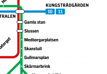 Metro
Metro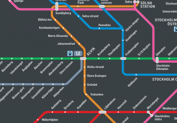 Rail network map


