Stureplan, Stockholm
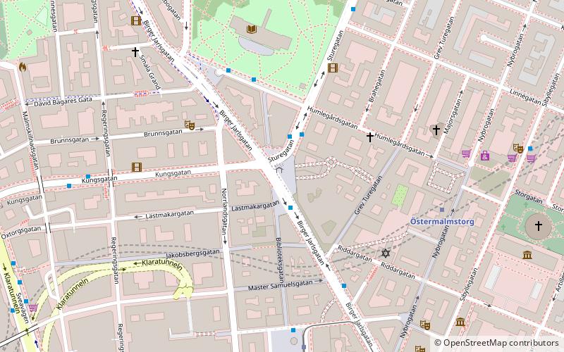
Map

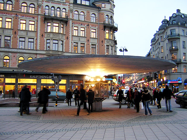
Gallery

Facts and practical information
Stureplan is a public square in central Stockholm, between Norrmalm and Östermalm. The square connects the major streets Kungsgatan, Birger Jarlsgatan and Sturegatan. The buildings around the square house offices of banks and other financial institutions, as well as several corporate headquarters. ()
Day trips
Stureplan – popular in the area (distance from the attraction)
Nearby attractions include: Biblioteksgatan, Sturecompagniet, NK, Swedish Army Museum.
Frequently Asked Questions (FAQ)
Which popular attractions are close to Stureplan?
Nearby attractions include Teater Brunnsgatan Fyra, Stockholm (3 min walk), Humlegården, Stockholm (3 min walk), Engelbrektsplan, Stockholm (4 min walk), National Library of Sweden, Stockholm (4 min walk).
How to get to Stureplan by public transport?
The nearest stations to Stureplan:
Bus
Metro
Tram
Ferry
Train
Light rail
Bus
- Stureplan • Lines: 1, 2, 291, 75, 91, 96 (1 min walk)
- Humlegården • Lines: 608, 624C, 628C, 680 (4 min walk)
Metro
- Östermalmstorg • Lines: 13, 14 (5 min walk)
- Hötorget • Lines: 17, 18, 19 (9 min walk)
Tram
- Kungsträdgården • Lines: 7 (7 min walk)
- Nybroplan • Lines: 7 (7 min walk)
Ferry
- Nybroplan • Lines: 80, Royal Canal Tour (8 min walk)
- Nybrokajen • Lines: Grand Canal Cruise, Strömma Canal Tour (10 min walk)
Train
- Stockholm City (15 min walk)
- Stockholms central (18 min walk)
Light rail
- Stockholms östra • Lines: 27, 28, 29 (19 min walk)

 Metro
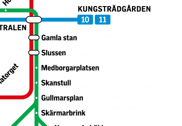
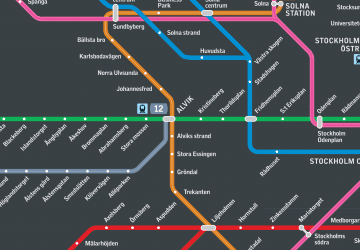
Metro Rail network map


