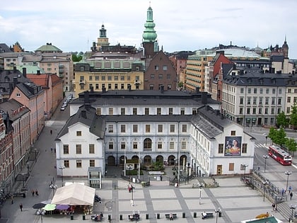
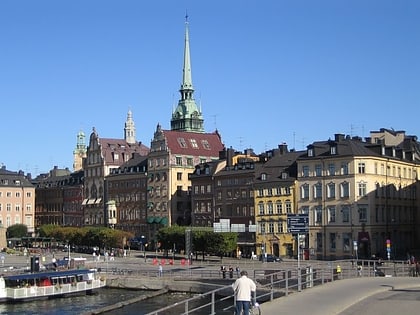
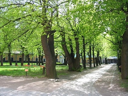
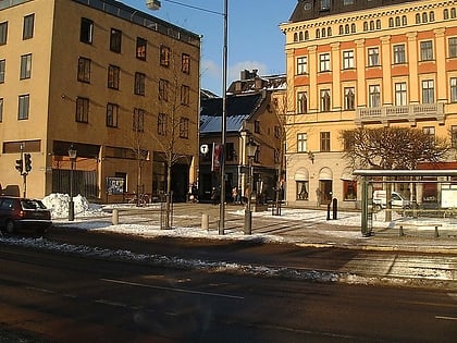
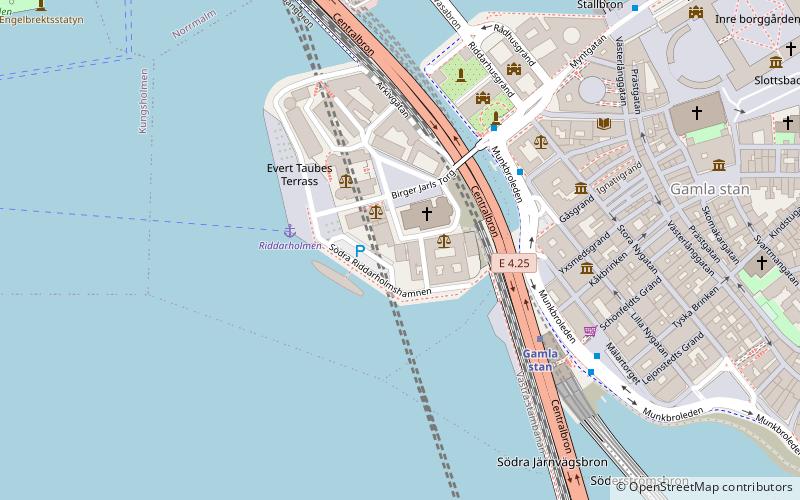
Monteliusvägen, Stockholm
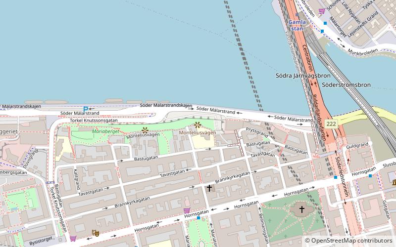

Facts and practical information
Monteliusvägen is a place located in Stockholm (Stockholm county) and belongs to the category of historic walking areas, view point.
It is situated at an altitude of 95 feet, and its geographical coordinates are 59°19'15"N latitude and 18°3'46"E longitude.
Planning a visit to this place, one can easily and conveniently get there by public transportation. Monteliusvägen is a short distance from the following public transport stations: Mariatorget (bus, 4 min walk), Gamla stan (metro, 6 min walk), Riddarholmen (ferry, 7 min walk), Stockholms södra (train, 14 min walk), T-Centralen (tram, 20 min walk).
Among other places and attractions worth visiting in the area are: Söderledstunneln (tunnel, 6 min walk), Munkbrohamnen (street, 6 min walk), Maria Magdalena Church (baroque architecture, 6 min walk).
Monteliusvägen – popular in the area (distance from the attraction)
Nearby attractions include: Riddarholmen Church, Wrangel Palace, Stockholm City Museum, Kornhamnstorg.
Frequently Asked Questions (FAQ)
When is Monteliusvägen open?
- Monday 24h
- Tuesday 24h
- Wednesday 24h
- Thursday 24h
- Friday 24h
- Saturday 24h
- Sunday 24h
Which popular attractions are close to Monteliusvägen?
How to get to Monteliusvägen by public transport?
Bus
- Mariatorget • Lines: 190, 191, 192, 55, 57 (4 min walk)
- Slussen • Lines: 190, 191, 192, 55, 57 (6 min walk)
Metro
- Gamla stan • Lines: 13, 14, 17, 18, 19 (6 min walk)
- Mariatorget • Lines: 13, 14 (7 min walk)
Ferry
- Riddarholmen • Lines: Båt (7 min walk)
- Klara Mälarstrand • Lines: 89 (13 min walk)
Train
- Stockholms södra (14 min walk)
- Stockholms central (21 min walk)
Tram
- T-Centralen • Lines: 7 (20 min walk)
- Kungsträdgården • Lines: 7 (23 min walk)

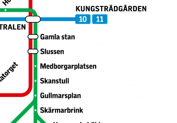 Metro
Metro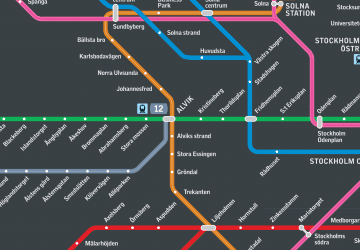 Rail network map

