Söderledstunneln, Stockholm
Map
Facts and practical information
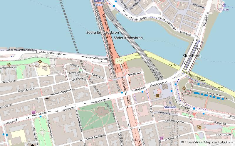
The Söderledstunneln is a tunnel between the Central Bridge and the Johanneshov Bridge on the island of Södermalm in Stockholm. It is 1,550 metres long and traverses the island from north to south. ()
Address
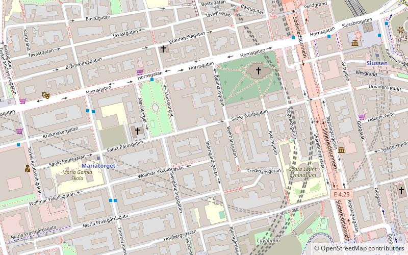
Södermalm (Maria - Torget)Stockholm
ContactAdd
Social media
Add
Getting there by public transportation
Public transportation stops near this location
- Metro
- Bus
- Tram
- Train
- Ferry
 Metro
Metro
- Calculate routeSlussen 6 min walk
- Calculate routeMälartorget 5 min walk
- Calculate routeSlussen 5 min walk
- Calculate routeGamla stan 6 min walk
- Calculate routeMariatorget 10 min walk
- Calculate routeMedborgarplatsen 11 min walk
- Calculate routeSlussen 9 min walk
- Calculate routeRiddarholmen 10 min walk
- Calculate routeKlara Mälarstrand 16 min walk
- Calculate routeStrömkajen 17 min walk
- Calculate routeStockholms södra 15 min walk
- Calculate routeStockholms central 24 min walk
- Calculate routeStockholm City 23 min walk
- Calculate routeT-Centralen 22 min walk
- Calculate routeKungsträdgården 22 min walk
- Calculate routeNybroplan 23 min walk
- Calculate routeStyrmansgatan 25 min walk
Maps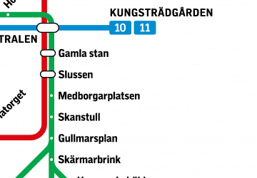 MetroMaps
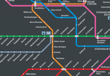 Rail network map
MetroMapsRail network mapDay trips
Söderledstunneln – popular in the area (distance from the attraction)
Nearby attractions include: Stockholm City Museum, Kornhamnstorg, Järntorget, Maria Magdalena Church.


Frequently Asked Questions (FAQ)
Which popular attractions are close to Söderledstunneln?
Nearby attractions include Maria Magdalena Church, Stockholm (3 min walk), Stockholm City Museum, Stockholm (4 min walk), Sankt Paulsgatan, Stockholm (5 min walk), Guldbron, Stockholm (5 min walk).
How to get to Söderledstunneln by public transport?
The nearest stations to Söderledstunneln:
Bus
Metro
Ferry
Train
Tram
Bus
- Slussen • Lines: 190, 191, 192, 193, 194, 195, 2, 25B, 3, 401, 402, 402X, 403, 409, 410, 413, 414, 420, 422, 425, 428X, 429X, 430X, 432, 433, 434, 435, 436, 437, 438, 439, 440, 441, 442, 443, 444, 445, 447, 471, 474, 491, 492, 496, 497, 53, 55, 57, 76, 93, 96 (6 min walk)
- Mälartorget • Lines: 3, 53 (5 min walk)
Metro
- Slussen • Lines: 13, 14, 17, 18, 19 (5 min walk)
- Gamla stan • Lines: 13, 14, 17, 18, 19 (6 min walk)
Ferry
- Slussen • Lines: 18, 24, 82 (9 min walk)
- Riddarholmen • Lines: Båt (10 min walk)
Train
- Stockholms södra (15 min walk)
- Stockholms central (24 min walk)
Tram
- T-Centralen • Lines: 7 (22 min walk)
- Kungsträdgården • Lines: 7 (22 min walk)