Ängelholms Tennis och idrottshall, Ängelholm

Gallery (1)
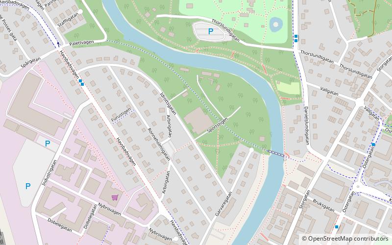
Map
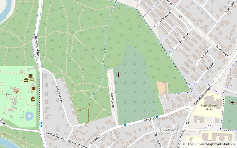
Map
Facts and practical information
Ängelholms Tennis och idrottshall is a place located in Ängelholm (Skåne county) and belongs to the category of sightseeing.
It is situated at an altitude of 33 feet, and its geographical coordinates are 56°15'2"N latitude and 12°51'42"E longitude.
Among other places and attractions worth visiting in the area are: Heliga korsets kapell (church, 13 min walk), Järnvägens Museum Ängelholm (history museum, 16 min walk), Ängelholms IP (sport venue, 29 min walk).
Coordinates: 56°15'2"N, 12°51'42"E
Address
Ängelholm
ContactAdd
Social media
Add
Day trips


Frequently Asked Questions (FAQ)
Which popular attractions are close to Ängelholms Tennis och idrottshall?
Nearby attractions include Heliga korsets kapell, Ängelholm (13 min walk), Järnvägens Museum Ängelholm, Ängelholm (16 min walk).