Finspångs kommun, Finspång

Gallery (1)
Map
Map
Facts and practical information
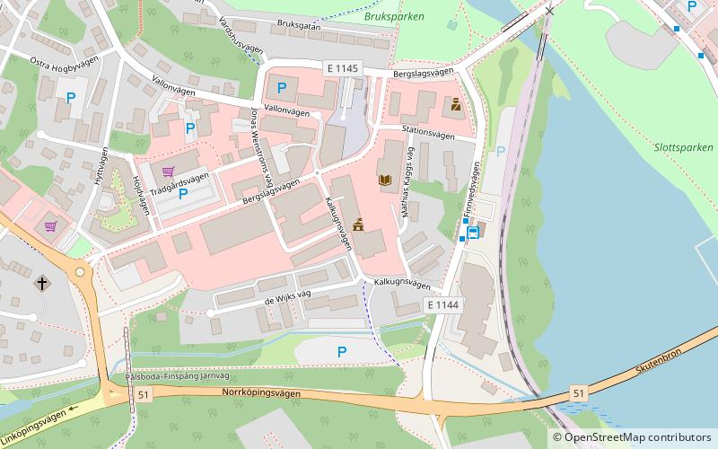
Finspångs kommun (address: Finnvedsvägen 4) is a place located in Finspång (Östergötland county) and belongs to the category of city hall.
It is situated at an altitude of 121 feet, and its geographical coordinates are 58°42'23"N latitude and 15°46'27"E longitude.
Among other places and attractions worth visiting in the area are: Finspång Castle (forts and castles, 7 min walk).
Coordinates: 58°42'23"N, 15°46'27"E
Address
Finnvedsvägen 4Finspång
ContactAdd
Social media
Add
Day trips
Finspångs kommun – popular in the area (distance from the attraction)
Nearby attractions include: Finspång Castle.
