Slussplan, Stockholm
Map
Map

Facts and practical information
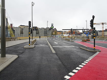
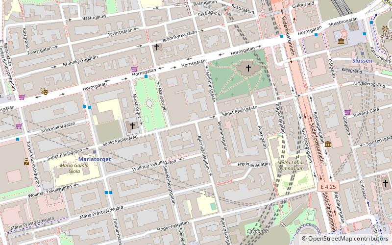
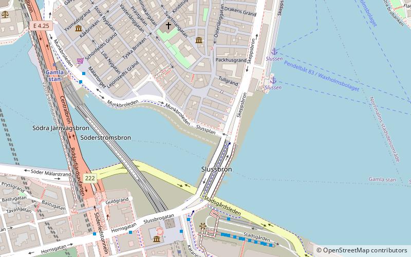
Slussplan is a street in Stockholm, Sweden. Located on the southern end of Gamla stan, the old town, and just north of Slussen and the public square Karl Johans Torg, it stretches west from Skeppsbron to Katarinavägen and Munkbroleden. South of the street is the statue of Charles XIV John, the creation of Bengt Erland Fogelberg and inaugurated in 1854. Järntorgsgatan leads north to the square Järntorget. ()
Address
Södermalm (Storkyrkan)Stockholm
ContactAdd
Social media
Add
Day trips
Slussplan – popular in the area (distance from the attraction)
Nearby attractions include: Museum of Far Eastern Antiquities, Fotografiska, Kornhamnstorg, Järntorget.
Frequently Asked Questions (FAQ)
Which popular attractions are close to Slussplan?
Nearby attractions include Karl Johans Torg, Stockholm (1 min walk), Södra Dryckesgränd, Stockholm (1 min walk), Järntorgsgatan, Stockholm (1 min walk), Norra Dryckesgränd, Stockholm (1 min walk).
How to get to Slussplan by public transport?
The nearest stations to Slussplan:
Ferry
Bus
Metro
Train
Tram
Ferry
- Slussen • Lines: 18, 24, 82 (4 min walk)
- Riddarholmen • Lines: Båt (12 min walk)
Bus
- Slussen • Lines: 190, 191, 192, 193, 194, 195, 2, 25B, 3, 401, 402, 402X, 403, 409, 410, 413, 414, 420, 422, 425, 428X, 429X, 430X, 432, 433, 434, 435, 436, 437, 438, 439, 440, 441, 442, 443, 444, 445, 447, 471, 474, 491, 492, 496, 497, 53, 55, 57, 76, 93, 96 (6 min walk)
- Mälartorget • Lines: 3, 53 (6 min walk)
Metro
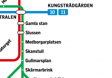
- Slussen • Lines: 13, 14, 17, 18, 19 (5 min walk)
- Gamla stan • Lines: 13, 14, 17, 18, 19 (7 min walk)
Train
- Stockholms södra (19 min walk)
- Stockholms central (24 min walk)
Tram
- Nybroplan • Lines: 7 (20 min walk)
- Kungsträdgården • Lines: 7 (20 min walk)

 Metro
Metro Rail network map