Solnabron, Stockholm
Map
Gallery
Facts and practical information
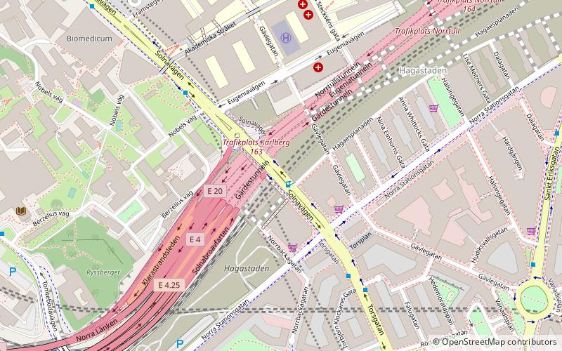
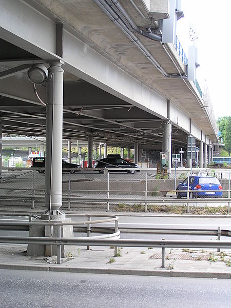
Solnabron was a viaduct in Sweden. Spanning the Norra Station area and the Norra länken motorway, it linked the municipalities of Stockholm and Solna. Solnabron was torn down in 2011 as part of large-scale redevelopment of the area into Hagastaden. For a couple of years, it was replaced by a temporary bridge made largely from wood, before finally being replaced with a permanent overbuild. The stretch is now simply designated as Solnavägen instead of Solnabron. ()
Address
Norrmalm (Västra Matteus)Stockholm
ContactAdd
Social media
Add
Day trips
Solnabron – popular in the area (distance from the attraction)
Nearby attractions include: Västermalmsgallerian, Vanadislunden, Karlberg Palace, Kungliga begravningsplatsen.
Frequently Asked Questions (FAQ)
Which popular attractions are close to Solnabron?
Nearby attractions include Norra Tornen, Stockholm (3 min walk), Vasastan, Stockholm (6 min walk), Museum of Spirits, Stockholm (7 min walk), Sankt Matteus kyrka, Stockholm (10 min walk).
How to get to Solnabron by public transport?
The nearest stations to Solnabron:
Bus
Metro
Train
Ferry
Tram
Bus
- Karolinska sjukhuset Eugeniavägen • Lines: 3, 507, 58, 598, 6, 697, 77, Flygbussarna (3 min walk)
- Torsplan • Lines: 3, 507, 58, 598, 6, 697, 77, Flygbussarna (4 min walk)
Metro
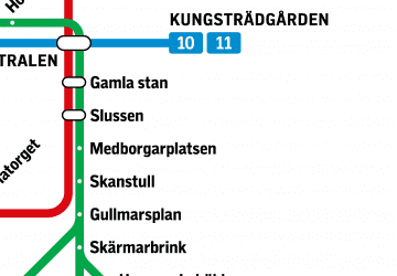
- Sankt Eriksplan • Lines: 17, 18, 19 (13 min walk)
- Odenplan • Lines: 17, 18, 19 (16 min walk)
Train
- Stockholm Odenplan (14 min walk)
- Stockholms central (38 min walk)
Ferry
- Hornsbergs Strand • Lines: Båt (27 min walk)
Tram
- Solna station • Lines: 30 (37 min walk)
- T-Centralen • Lines: 7 (38 min walk)

 Metro
Metro Rail network map
