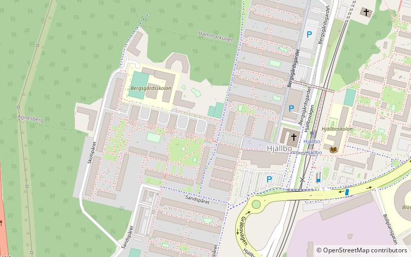
Lärjedalen, Gothenburg

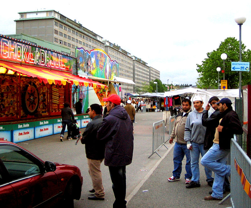
Gallery (2)
Map
Map
Gallery
Facts and practical information
Lärjedalen is in the south of the former municipality Angered; it gets its name from the river Lärjeån that crosses the municipality. ()
Coordinates: 57°46'11"N, 12°1'4"E
Address
HjällboGothenburg
ContactAdd
Social media
Add
Getting there by public transportation
Public transportation stops near this location
- Bus
- Tram
 Bus
Bus
- Calculate routeHjällbo 5 min walk
- Calculate routeHammarkullen 26 min walk
- Calculate routeAprilgatan 27 min walk
- Calculate routeJanuarigatan 28 min walk
- Calculate routeHjällbo 7 min walk
- Calculate routeHjällbovallen 13 min walk
- Calculate routeHandbollsvägen 14 min walk
- Calculate routeLärjeholm 14 min walk
Day trips


Frequently Asked Questions (FAQ)
How to get to Lärjedalen by public transport?
The nearest stations to Lärjedalen:
Tram
Bus
Tram
- Hjällbo • Lines: 4, 8, 9 (5 min walk)
- Hammarkullen • Lines: 4, 8, 9 (26 min walk)
Bus
- Hjällbo • Lines: 179, 71, 78, X3 (7 min walk)
- Hjällbovallen • Lines: 179, 71 (13 min walk)