The Hand of God, Eskilstuna
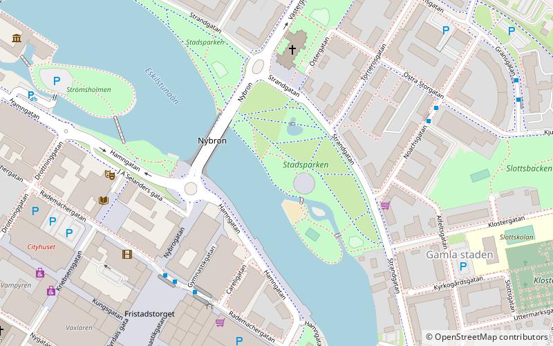
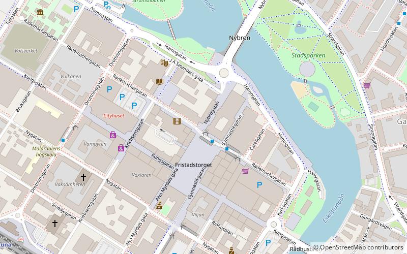
Map
Facts and practical information
The Hand of God is one of the last works of the Swedish sculptor Carl Milles, created to honor the Swedish entrepreneur C. E. Johansson, who revolutionized precision measuring of industrial parts. The original casting stands in Johansson's hometown of Eskilstuna, Sweden. ()
Address
Eskilstuna
ContactAdd
Social media
Add
Getting there by public transportation
Public transportation stops near this location
- Bus
- Train
 Bus
Bus
- Calculate routeNoachsgatan 5 min walk
- Calculate routeFristadstorget 6 min walk
- Calculate routeEleonoragatan 7 min walk
- Calculate routeTörnerosgatan 7 min walk
- Calculate routeEskilstuna C 13 min walk
Day trips
The Hand of God – popular in the area (distance from the attraction)
Nearby attractions include: Tunavallen, Ikaros Smederna, Rademachersmedjorna, Södermanland Runic Inscription 109.


Frequently Asked Questions (FAQ)
Which popular attractions are close to The Hand of God?
Nearby attractions include Klosters kyrka, Eskilstuna (4 min walk), Ikaros Smederna, Eskilstuna (5 min walk), Fristadstorget, Eskilstuna (6 min walk), Eskilstuna Stadsmuseum, Eskilstuna (9 min walk).
How to get to The Hand of God by public transport?
The nearest stations to The Hand of God:
Bus
Train
Bus
- Noachsgatan • Lines: 30, 31 (5 min walk)
- Fristadstorget • Lines: 1, 2, 3, 30, 31, 4, 40, 5, 6, 7, 8, 9 (6 min walk)
Train
- Eskilstuna C (13 min walk)