Kungsholmen, Stockholm

Map
Facts and practical information
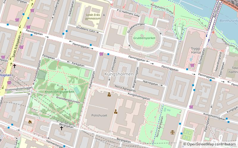
Kungsholmen is a borough in central Stockholm, Sweden. It is named after the dominating district and island in the borough. Except Kungsholmen there are six districts in the borough: Fredhäll, Kristineberg, Lilla Essingen, Marieberg, Stadshagen and Stora Essingen. It is also equivalent to the parishes of Kungsholm, Sankt Göran and Essinge. The population as of 2004 is 54,283, of which 28,614 are female and 25,669 are male, on an area of 4.85 km², which gives a density of 10,977.73 per km². ()
Address
Kungsholmen (Kungsholm)Stockholm
ContactAdd
Social media
Add
Day trips
Kungsholmen – popular in the area (distance from the attraction)
Nearby attractions include: Västermalmsgallerian, Rålambshovsparken, Kungsholm Church, Kungsbron.
Frequently Asked Questions (FAQ)
Which popular attractions are close to Kungsholmen?
Nearby attractions include Stockholm Court House, Stockholm (6 min walk), Barnhusviken, Stockholm (7 min walk), Bonniers konsthall, Stockholm (8 min walk), Barnhusbron, Stockholm (9 min walk).
How to get to Kungsholmen by public transport?
The nearest stations to Kungsholmen:
Bus
Metro
Train
Ferry
Tram
Light rail
Bus
- Celsiusgatan • Lines: 1, 65, 91 (3 min walk)
- Inedalsgatan • Lines: 65 (5 min walk)
Metro
- Rådhuset • Lines: 10, 11 (7 min walk)
- Fridhemsplan • Lines: 10, 11, 17, 18, 19 (9 min walk)
Train
- Stockholms central (17 min walk)
- Stockholm City (18 min walk)
Ferry
- Klara Mälarstrand • Lines: 89 (19 min walk)
- Riddarholmen • Lines: Båt (25 min walk)
Tram
- T-Centralen • Lines: 7 (21 min walk)
- Kungsträdgården • Lines: 7 (28 min walk)
Light rail
- Stockholms östra • Lines: 27, 28, 29 (37 min walk)
 Metro
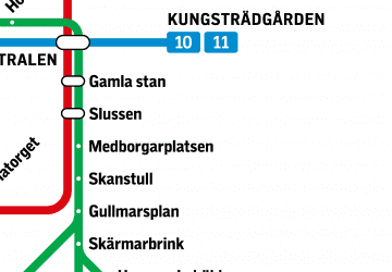
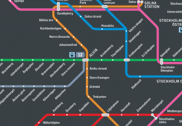
Metro Rail network map


