Stocksund, Stockholm
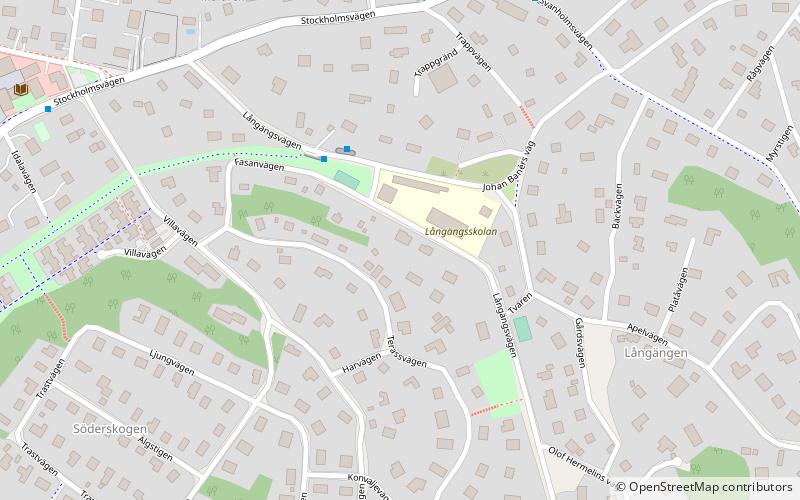
Map
Facts and practical information
Stocksund is a suburb in Metropolitan Stockholm, Sweden. ()
Address
Stockholm
ContactAdd
Social media
Add
Getting there by public transportation
Public transportation stops near this location
- Metro
- Bus
- Light rail
- Ferry
 Metro
Metro
- Calculate routeLångängsskolan 3 min walk
- Calculate routeSvanholmsvägen 6 min walk
- Calculate routeStocksunds torg 8 min walk
- Calculate routeStocksund 21 min walk
- Calculate routeMörby 24 min walk
- Calculate routeDjursholms Ösby 28 min walk
- Calculate routeVendevägen 30 min walk
- Calculate routeEkudden 25 min walk
- Calculate routeTranholmen 26 min walk
- Calculate routeDanderyds sjukhus 26 min walk
- Calculate routeBergshamra 27 min walk
- Calculate routeMörby centrum 39 min walk
Maps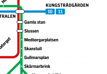 MetroMaps
 Rail network map
MetroMapsRail network mapDay trips


Frequently Asked Questions (FAQ)
Which popular attractions are close to Stocksund?
Nearby attractions include Cedergrenska Tornet, Stockholm (12 min walk), Västra Sveavikens Hamn, Stockholm (19 min walk), Tranholmen, Stockholm (23 min walk), Ålkistan, Stockholm (23 min walk).
How to get to Stocksund by public transport?
The nearest stations to Stocksund:
Bus
Light rail
Ferry
Metro
Bus
- Långängsskolan • Lines: 601 (3 min walk)
- Svanholmsvägen • Lines: 601 (6 min walk)
Light rail
- Stocksund • Lines: 29 (21 min walk)
- Mörby • Lines: 27, 28, 29 (24 min walk)
Ferry
- Ekudden • Lines: 80 (25 min walk)
- Tranholmen • Lines: 80 (26 min walk)
Metro
- Danderyds sjukhus • Lines: 14 (26 min walk)
- Bergshamra • Lines: 14 (27 min walk)