Roslags Näsby, Täby
Map

Map

Facts and practical information
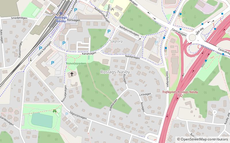
Roslags Näsby is a neighbourhood in the southern part of Täby Municipality, north of Stockholm. It is dominated by detached single-family houses. As of 2018, a plan to redevelop the area has been approved. The present railway station will be demolished and replaced by a new one a bit further north. Most of the present buildings on the western side of the station will also be replaced by 1,400 new dwellings in multistory apartment buildings. ()
Address
Täby
ContactAdd
Social media
Add
Day trips
Roslags Näsby – popular in the area (distance from the attraction)
Nearby attractions include: Täby Centrum, Täby Galopp, Näsby slott, Enebyängen.
Frequently Asked Questions (FAQ)
How to get to Roslags Näsby by public transport?
The nearest stations to Roslags Näsby:
Bus
Light rail
Bus
- Kanalvägen • Lines: 605, 618, 627, 690, 698 (4 min walk)
- Näsbydal • Lines: 605, 618, 627, 690, 691 (6 min walk)
Light rail
- Roslags Näsby • Lines: 27, 28 (6 min walk)
- Tibble • Lines: 27 (16 min walk)


