Hägersten, Stockholm

Map
Facts and practical information
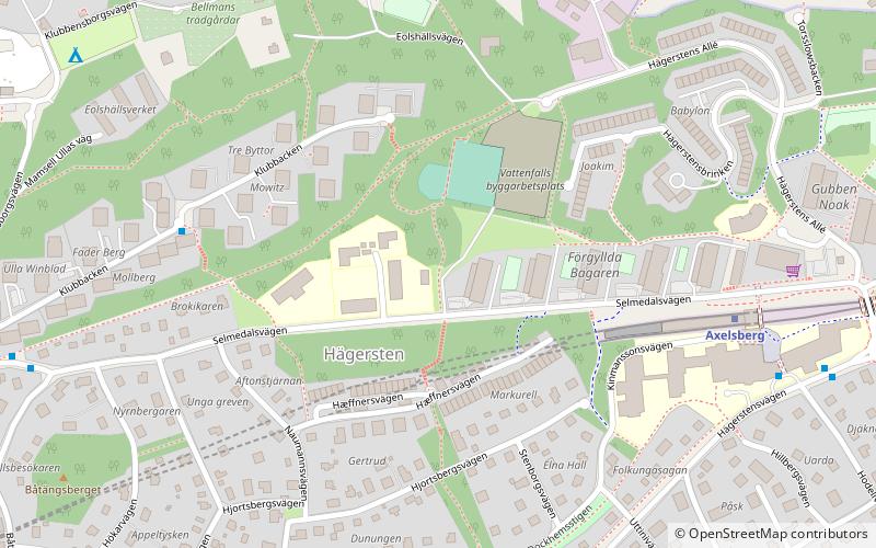
Hägersten is an urban district of Stockholm. It is located in the borough of Hägersten-Liljeholmen, which was formed 1 January 2007 by merging the former boroughs of Hägersten and Liljeholmen. ()
Address
Hägersten - Liljeholmen (Hägersten)Stockholm
ContactAdd
Social media
Add
Day trips
Hägersten – popular in the area (distance from the attraction)
Nearby attractions include: Café Solviksbadet, Efter badet, Gröndalsbron, Västertorp.
Frequently Asked Questions (FAQ)
Which popular attractions are close to Hägersten?
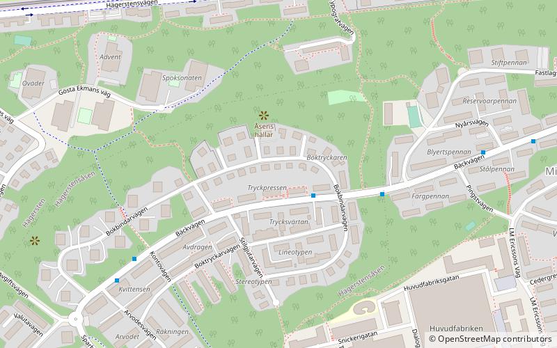
Nearby attractions include Axelsberg, Stockholm (9 min walk), Hägerstensåsen, Stockholm (18 min walk), Hägersten-Liljeholmen, Stockholm (18 min walk), Café Solviksbadet, Stockholm (19 min walk).
How to get to Hägersten by public transport?
The nearest stations to Hägersten:
Bus
Metro
Ferry
Tram
Bus
- Klubbacken • Lines: 135 (5 min walk)
- Edvard Swartz plan • Lines: 191 (7 min walk)
Metro
- Axelsberg • Lines: 13 (6 min walk)
- Mälarhöjden • Lines: 13 (14 min walk)
Ferry
- Ekensberg • Lines: 89 (26 min walk)
Tram
- Smedslätten • Lines: 12 (29 min walk)
- Ålstens gård • Lines: 12 (32 min walk)
 Metro
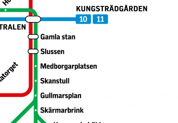
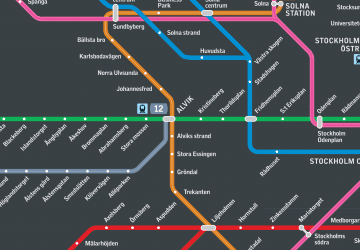
Metro Rail network map


