Vinterviken, Södertörn
Map

Map

Facts and practical information
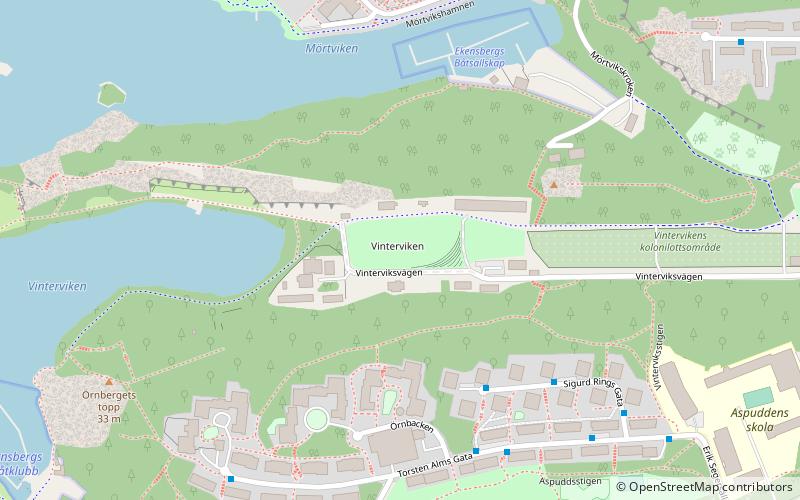
Vinterviken is a bay in the Mälaren lake in southern Stockholm, Sweden. Vinterviken is located in a valley surrounded by the Gröndal and Aspudden suburb areas. The origin of the name Vinterviken can be traced back to the 17th century. Back then a common winter route used to go from Fittja and the Mälaren islands, and entered the city through Vinterviken and lake Trehörningen. ()
Address
Hägersten - Liljeholmen (Aspudden)Södertörn
ContactAdd
Social media
Add
Day trips
Vinterviken – popular in the area (distance from the attraction)
Nearby attractions include: Smedsuddsbadet, Café Solviksbadet, Trekanten, Efter badet.
Frequently Asked Questions (FAQ)
Which popular attractions are close to Vinterviken?
Nearby attractions include Aspuddsparken, Södertörn (7 min walk), Aspudden, Stockholm (14 min walk), Gröndalsbron, Stockholm (16 min walk), Hägersten-Liljeholmen, Stockholm (17 min walk).
How to get to Vinterviken by public transport?
The nearest stations to Vinterviken:
Bus
Ferry
Metro
Tram
Bus
- Ekensberg • Lines: 133 (7 min walk)
- Mörtviken • Lines: 133 (8 min walk)
Ferry
- Ekensberg • Lines: 89 (9 min walk)
- Lilla Essingen • Lines: 89, Båt (27 min walk)
Metro
- Örnsberg • Lines: 13 (11 min walk)
- Aspudden • Lines: 13 (14 min walk)
Tram
- Gröndal • Lines: 30 (20 min walk)
- Stora Essingen • Lines: 30 (25 min walk)


