Slussenområdet, Stockholm
Map

Gallery
Facts and practical information
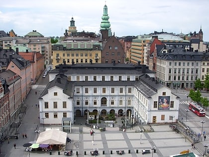
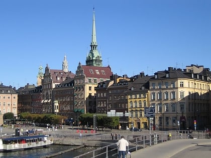
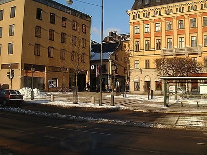
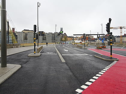
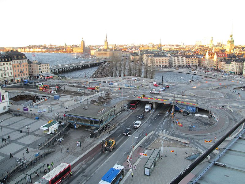
Slussenområdet is an area of central Stockholm, on the Söderström river connecting Södermalm and Gamla stan. The area is named after the locks between Lake Mälaren and the Baltic Sea. Called Karl Johanslussen, the locks themselves allow passage between these two bodies of water. Slussen also refers to the cloverleaf interchange and associated pedestrian passages and walkways opened on 15 October 1935. ()
Day trips
Slussenområdet – popular in the area (distance from the attraction)
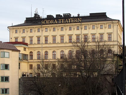
Nearby attractions include: Stockholm City Museum, Kornhamnstorg, Järntorget, Södra Teatern.
Frequently Asked Questions (FAQ)
Which popular attractions are close to Slussenområdet?
Nearby attractions include Guldbron, Stockholm (1 min walk), Karl Johans Torg, Stockholm (2 min walk), Slussplan, Stockholm (2 min walk), Järntorgsgatan, Stockholm (3 min walk).
How to get to Slussenområdet by public transport?
The nearest stations to Slussenområdet:
Bus
Metro
Ferry
Train
Tram
Bus
- Slussen • Lines: 190, 191, 192, 193, 194, 195, 2, 25B, 3, 401, 402, 402X, 403, 409, 410, 413, 414, 420, 422, 425, 428X, 429X, 430X, 432, 433, 434, 435, 436, 437, 438, 439, 440, 441, 442, 443, 444, 445, 447, 471, 474, 491, 492, 496, 497, 53, 55, 57, 76, 93, 96 (4 min walk)
- Mälartorget • Lines: 3, 53 (5 min walk)
Metro
- Slussen • Lines: 13, 14, 17, 18, 19 (4 min walk)
- Gamla stan • Lines: 13, 14, 17, 18, 19 (6 min walk)
Ferry
- Slussen • Lines: 18, 24, 82 (6 min walk)
- Riddarholmen • Lines: Båt (11 min walk)
Train
- Stockholms södra (18 min walk)
- Stockholms central (25 min walk)
Tram
- Kungsträdgården • Lines: 7 (21 min walk)
- Nybroplan • Lines: 7 (21 min walk)

 Metro
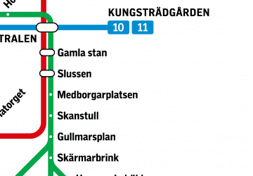
Metro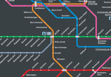 Rail network map