Ägerisee

Gallery (2)
Map
Map
Gallery
Facts and practical information
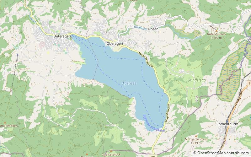
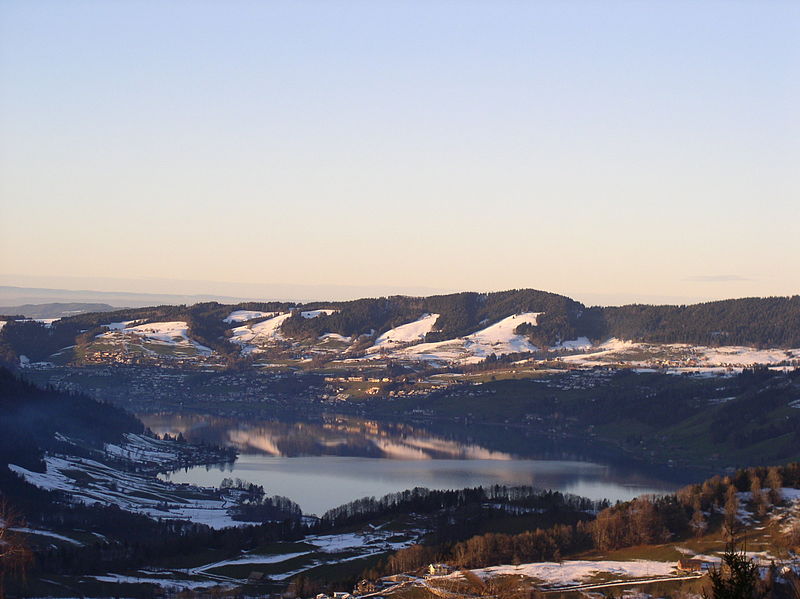
Ägerisee or Lake Aegeri is a glacial lake in the Canton of Zug, Switzerland. The two municipalities along its shore are Oberägeri and Unterägeri. The main tributary is the Hüribach; the Lorze river drains the Ägerisee. Since 1992 the lake has been used as a water reservoir. ()
Alternative names: Area: 2.82 mi²Length: 3.36 miWidth: 4593 ftMaximum depth: 272 ftElevation: 2375 ft a.s.l.Coordinates: 47°7'18"N, 8°37'9"E
Location
Zug
ContactAdd
Social media
Add
Day trips