Tête aux Chamois, Les Diablerets

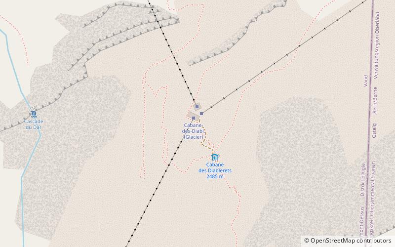
Map
Facts and practical information
The Tête aux Chamois is a summit of the Diablerets massif, overlooking the Col du Pillon in the canton of Vaud. It is accessible by aerial tramway from the Col du Pillon and from Reusch via Oldenegg. From the summit of the Tête aux Chamois another aerial tramway leads to the summit of the Scex Rouge and the nearby Tsanfleuron Glacier. ()
Elevation: 8284 ftProminence: 131 ftCoordinates: 46°20'23"N, 7°12'53"E
Address
Les Diablerets
ContactAdd
Social media
Add
Day trips
Tête aux Chamois – popular in the area (distance from the attraction)
Nearby attractions include: Scex Rouge, Peak Walk, Oldenhorn, Col du Pillon.


