Domleschg, Lenzerheide
Map
Facts and practical information
The Kreis Domleschg forms, together with the sub-districts of Avers, Rheinwald, Schams and Thusis, the Hinterrhein District of the Canton Graubünden in Switzerland. The district office is located in Fürstenau. ()
Address
Lenzerheide
ContactAdd
Social media
Add
Getting there by public transportation
Public transportation stops near this location
- Bus
 Bus
Bus
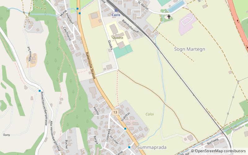
- Calculate routeSummaprada, Dorf 5 min walk
- Calculate routeCazis, Cafluri 7 min walk
- Calculate routeThusis, Caznerwiesen 11 min walk
- Calculate routeCazis, Dorf 13 min walk
Day trips


Frequently Asked Questions (FAQ)
Which popular attractions are close to Domleschg?
Nearby attractions include Bishop's Castle, Lenzerheide (17 min walk), Schauenstein Castle, Lenzerheide (18 min walk).
How to get to Domleschg by public transport?
The nearest stations to Domleschg:
Bus
Bus
- Summaprada, Dorf • Lines: 511 (5 min walk)
- Cazis, Cafluri • Lines: 511 (7 min walk)