Oppidum Zürich-Lindenhof, Zurich
Map
Gallery

Facts and practical information
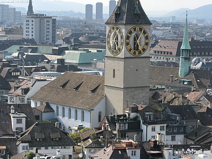
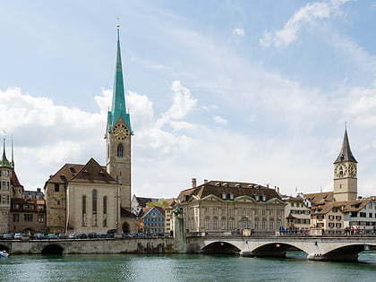
Lindenhof is the present name of the large fortified settlement, or oppidum, likely founded by the Helvetii on the Lindenhof hill on the western shore of the Limmat in Zürich, Switzerland. ()
Local name: Oppidum Lindenhof Length: 1148 ftWidth: 820 ftHeight: 92 ftCoordinates: 47°22'23"N, 8°32'27"E
Address
Kreis 1 (Lindenhof)Zurich
ContactAdd
Social media
Add
Day trips
Oppidum Zürich-Lindenhof – popular in the area (distance from the attraction)
Nearby attractions include: Bahnhofstrasse, Confiserie Sprüngli, Grossmünster, Zunfthaus zur Meisen.
Frequently Asked Questions (FAQ)
Which popular attractions are close to Oppidum Zürich-Lindenhof?
Nearby attractions include Hedwig Fountain, Zurich (1 min walk), Lindenhof, Zurich (1 min walk), Lindenhof, Zurich (1 min walk), Schipfe, Zurich (2 min walk).
How to get to Oppidum Zürich-Lindenhof by public transport?
The nearest stations to Oppidum Zürich-Lindenhof:
Ferry
Tram
Trolleybus
Bus
Train
Light rail
Ferry
- Zürich Limmatquai (3 min walk)
- Zürich Storchen (4 min walk)
Tram
- Rennweg • Lines: 10, 11, 13, 17, 6, 7 (3 min walk)
- Rathaus • Lines: 15, 4 (3 min walk)
Trolleybus
- Löwenplatz • Lines: 31 (7 min walk)
- Bahnhofplatz/HB • Lines: 31 (8 min walk)
Bus
- Bahnhofplatz/HB • Lines: N2, N8 (8 min walk)
- Central • Lines: N13 (8 min walk)
Train
- Central Polybahn (8 min walk)
- Zürich HB SZU (8 min walk)
Light rail
- Bahnhof Stadelhofen • Lines: S18 (15 min walk)
- Kreuzplatz • Lines: 11, 8, S18 (22 min walk)


