Clarakirche, Basel
Map

Map

Facts and practical information
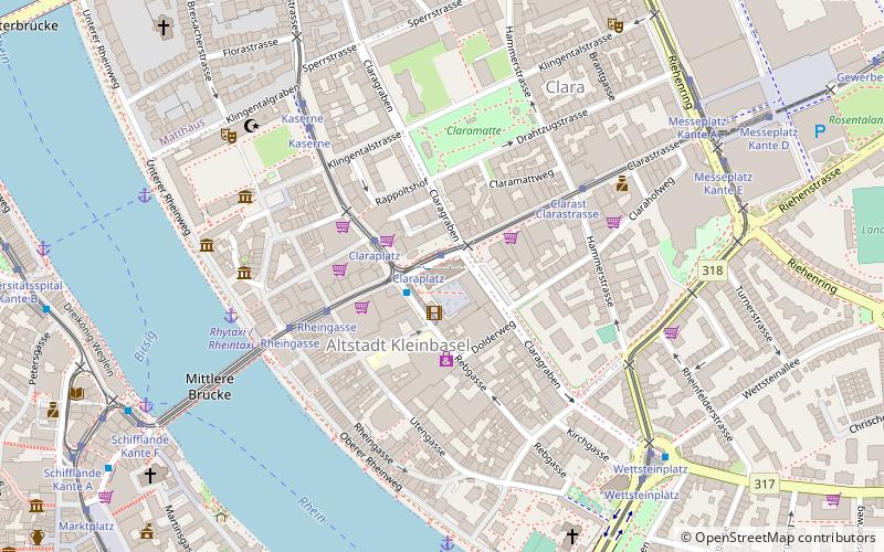
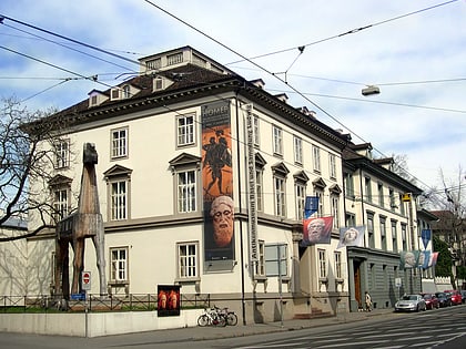
The Church of St. Clara is a Roman Catholic parish church in the Swiss city of Basel. It stands in the Kleinbasel neighborhood of Clara and dominates the Claraplatz.
Coordinates: 47°33'42"N, 7°35'39"E
Day trips
Clarakirche – popular in the area (distance from the attraction)
Nearby attractions include: Basel Minster, Kunstmuseum Basel, City Hall, Caricature & Cartoon Museum Basel.
Frequently Asked Questions (FAQ)
Which popular attractions are close to Clarakirche?
Nearby attractions include Museum Kleines Klingental, Basel (6 min walk), Middle Bridge, Basel (6 min walk), Congress Center Basel, Basel (6 min walk), Walls of Basel, Basel (9 min walk).
How to get to Clarakirche by public transport?
The nearest stations to Clarakirche:
Bus
Tram
Ferry
Train
Bus
- Claraplatz • Lines: 31, 34, 38, 55, N22 (1 min walk)
- Rheingasse • Lines: 31, 34, 38, N22 (4 min walk)
Tram
- Claraplatz • Lines: 14, 15, 17, 6, 8, N14, N6 (1 min walk)
- Rheingasse • Lines: 14, 15, 17, 6, 8, N14, N6 (4 min walk)
Ferry
- Münster Fähre Leu (9 min walk)
- Klingental Fähre Vogel Gryff (10 min walk)
Train
- Basel Badischer Bahnhof (19 min walk)
- Basel SBB (26 min walk)


