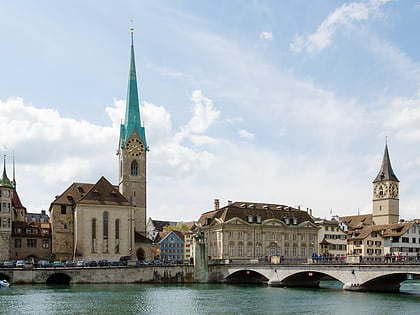
Limmatquai, Zurich
Map
Gallery
Facts and practical information
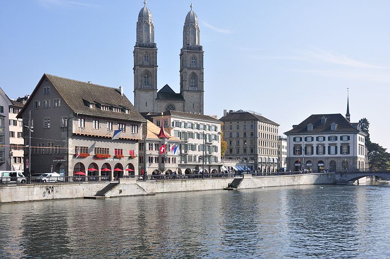
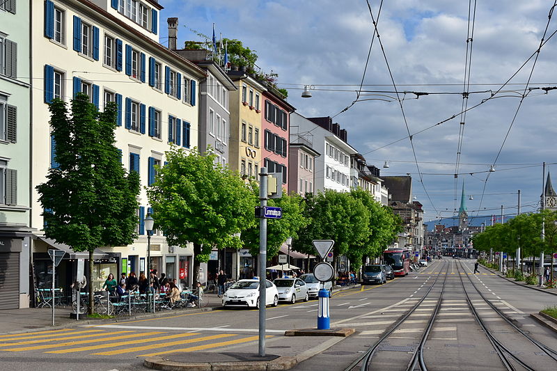
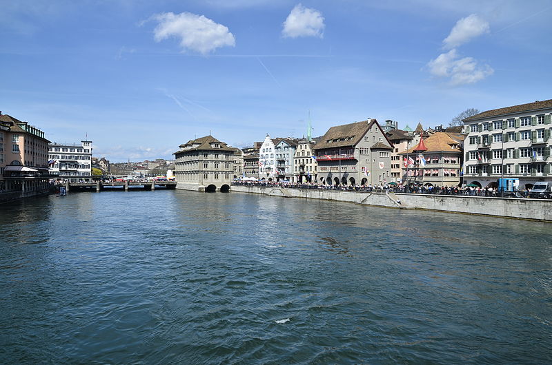
Limmatquai is a street in the Swiss city of Zürich. It is named after the Limmat, and it follows the right-hand bank of that river for about 1 kilometre through the Altstadt, or historical core, of the city. The street was once important for both road and public transportation, but today sections of it form a pedestrian zone shared with Zürich's trams, effectively forming a northern extension of the Seeuferanlage promenades that ring the shores of Lake Zürich. ()
Address
Kreis 1 (Lindenhof)Zurich
ContactAdd
Social media
Add
Day trips
Limmatquai – popular in the area (distance from the attraction)
Nearby attractions include: Confiserie Sprüngli, Grossmünster, Zunfthaus zur Meisen, St. Peter.
Frequently Asked Questions (FAQ)
Which popular attractions are close to Limmatquai?
Nearby attractions include Bürkliplatz, Zurich (2 min walk), Quaibrücke, Zurich (2 min walk), Frauenbad Stadthausquai, Zurich (3 min walk), Kleiner Hafner, Zurich (5 min walk).
How to get to Limmatquai by public transport?
The nearest stations to Limmatquai:
Bus
Tram
Ferry
Light rail
Train
Trolleybus
Bus
- Bürkliplatz • Lines: 161, 165 (1 min walk)
- Bellevue • Lines: 912, 916 (6 min walk)
Tram
- Bürkliplatz • Lines: 11, 2, 5, 8, 9 (1 min walk)
- Kantonalbank • Lines: 11, 2, 8, 9 (3 min walk)
Ferry
- Zürich Bürkliplatz • Lines: 3730, 3731 (3 min walk)
- Zürich Bellevue (6 min walk)
Light rail
- Bahnhof Stadelhofen • Lines: S18 (9 min walk)
- Kreuzplatz • Lines: 11, 8, S18 (16 min walk)
Train
- Zürich Stadelhofen (9 min walk)
- Zürich Enge (14 min walk)
Trolleybus
- Kunsthaus • Lines: 31 (11 min walk)
- Neumarkt • Lines: 31 (13 min walk)


