Dent de Savigny
#863 among destinations in Switzerland
![Dent de Savigny location map](https://tzmedia.b-cdn.net/media/images/static-maps/ch/46_5496_7_22627.jpg)
Facts and practical information
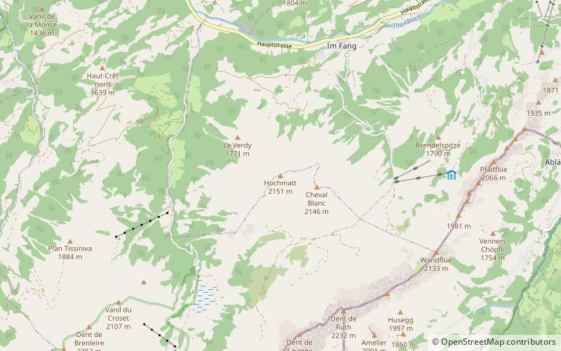
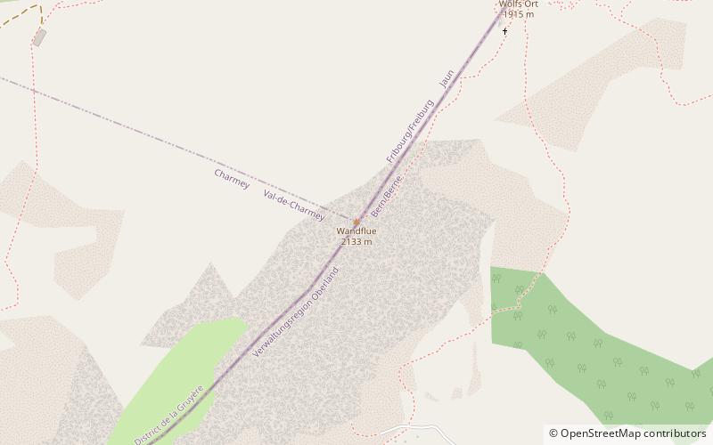
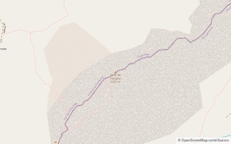
The Dent de Savigny is a mountain of the Bernese Alps, located on the border between the Swiss cantons of Vaud and Fribourg. With an elevation of 2,252 metres above sea level, it one of the highest mountains in the canton of Fribourg. ()
FribourgSwitzerland
Dent de Savigny plan & book
Unleash the traveler in you — discover the cheapest flight deals, find the perfect hotel or hostel nearby, and search for the best car rental prices. Travel at your own pace to discover new places and enjoy your journey.
Dent de Savigny – popular in the area (distance from the attraction)
Nearby attractions include: Vanil Noir, Dent de Broc, Dent de Brenleire, Dent de Ruth.
4 miWNature, Natural attraction, MountainVanil Noir
102 min walk • The Vanil Noir is a mountain of the Fribourg Prealps, located on the border between the cantons of Fribourg and Vaud in western Switzerland.
5.4 miNWNature, Natural attraction, MountainDent de Broc
138 min walk • The Dent de Broc is a mountain of the Swiss Prealps, overlooking Broc and the Lake of Gruyère in the canton of Fribourg. It lies on the range north of the Vanil Noir, between the valleys of the Sarine and the Motélon.
2.4 miWNature, Natural attraction, MountainDent de Brenleire
63 min walk • The Dent de Brenleire is a mountain of the Fribourg Alps, located south of Charmey in the Swiss canton of Fribourg. It has an elevation of 2,353 metres above sea level and is amongst the highest summits in the canton of Fribourg, after the Vanil Noir, the Vanil de l'Ecri and the Pointe de Paray.
0.6 miNENature, Natural attraction, MountainDent de Ruth
15 min walk • The Dent de Ruth is a mountain in the Bernese Alps in Switzerland. The summit is the tripoint between the cantons of Vaud, Berne and Fribourg.
4.9 miNWNature, Natural attraction, MountainDent du Chamois
126 min walk • The Dent du Chamois is a mountain of the Swiss Prealps, located east of Gruyères in the canton of Fribourg. It lies on the range north of the Vanil Noir, between the valleys of the Sarine and the Motélon.
3 miWNature, Natural attraction, MountainVanil de l'Ecri
77 min walk • The Vanil de l'Ecri is a mountain of the Swiss Prealps, located on the border between the cantons of Fribourg and Vaud. Reaching a height of 2,376 metres above sea level, it is both the second highest summit of the Vanil Noir massif and the canton of Fribourg. The mountain lies between the Pointe de Paray and the Vanil Noir.
4.9 miSWNature, Natural attraction, MountainPointe de Paray
126 min walk • The Pointe de Paray is a mountain of the Swiss Prealps, located on the border between the cantons of Fribourg and Vaud. It has a height of 2,375 metres above sea level, making it both the third highest summit of the Vanil Noir massif and the canton of Fribourg.
3.8 miENature, Natural attraction, MountainHundsrügg
97 min walk • The Hundsrügg is a mountain of the Bernese Alps, located west of Zweisimmen in the Bernese Oberland. It is the highest point of the chain south of the Jaun Pass and east of the Gastlosen.
5.2 miNNature, Natural attraction, MountainSchopfenspitz
132 min walk • The Schopfenspitz is a mountain of the Bernese Alps, overlooking Jaun in the canton of Fribourg. It is the culminating point of the group lying between Charmey and the Euschelspass.
1.9 miNNature, Natural attraction, MountainHochmatt
48 min walk • The Hochmatt is a mountain of the Bernese Alps, located south of Jaun in the canton of Fribourg. It lies west of the Gastlosen chain.
1.9 miNENature, Natural attraction, MountainWandflue
48 min walk • The Wandflue is a mountain of the Bernese Alps, located on the border between the Swiss cantons of Fribourg and Bern. It lies south of Jaun in the Gastlosen chain.