Furgghorn

Gallery (1)
Map
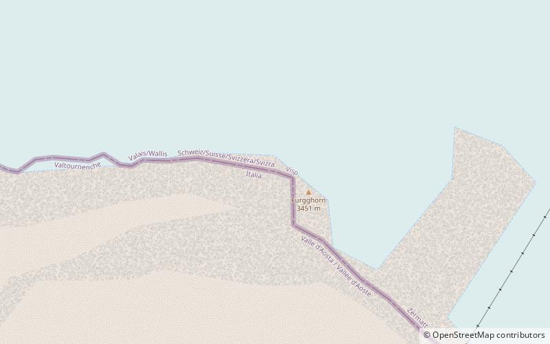
Map
Facts and practical information
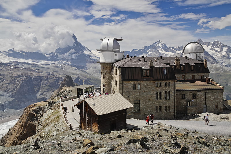
The Furgghorn is a mountain of the Pennine Alps, located on the boundary between the canton of Valais and Aosta Valley. It lies on the range south-east of the Matterhorn, near the Theodul Pass. The closest locality is Breuil-Cervinia on the Italian side. The closest locality on the Swiss side is Zermatt. ()
Location
Valais
ContactAdd
Social media
Add
Day trips