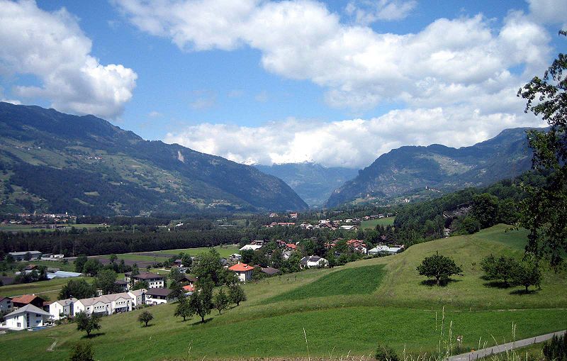
Domleschg Valley, Lenzerheide
Map

Gallery

Facts and practical information
The Domleschg is a valley in Graubünden in Switzerland. Geographically, the name "Domleschg" covers both sides of the valley. Politically, the villages on the left bank of the Posterior Rhine form the Kreis of Thusis and those on the right bank form the Kreis of Domleschg. Thusis is the main village in the valley. The northernmost locality is Rothenbrunnen, the southernmost is Sils. ()
Address
Lenzerheide
ContactAdd
Social media
Add
Day trips
Domleschg Valley – popular in the area (distance from the attraction)
Nearby attractions include: Ortenstein Castle, Rietberg Castle, Innerjuvalt Castle, Alt-Süns Castle.
Frequently Asked Questions (FAQ)
How to get to Domleschg Valley by public transport?
The nearest stations to Domleschg Valley:
Bus
Bus
- Paspels, Dorf • Lines: 512 (12 min walk)
- Cazis, Bündner Arena • Lines: 511 (13 min walk)


