Wülflingen, Winterthur
Map
Facts and practical information
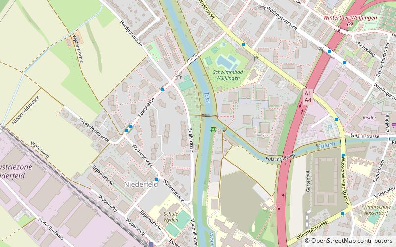
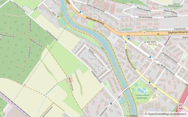
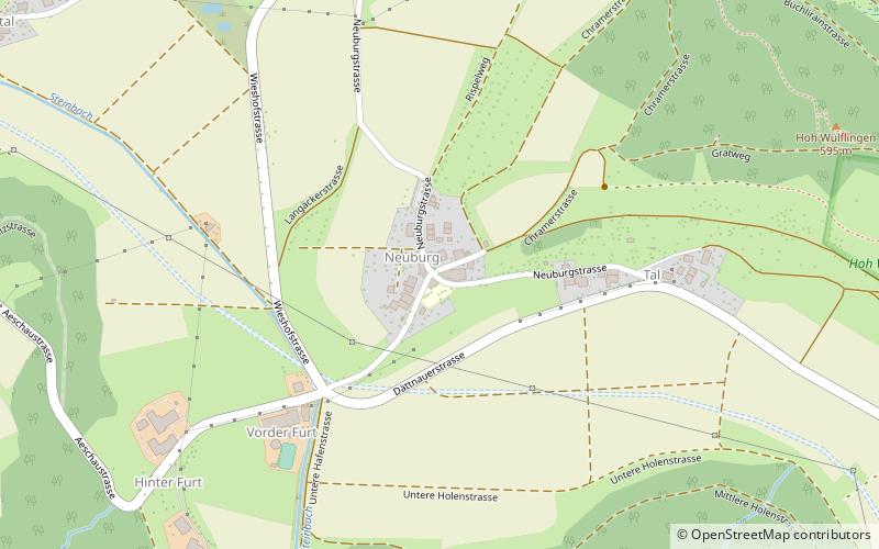
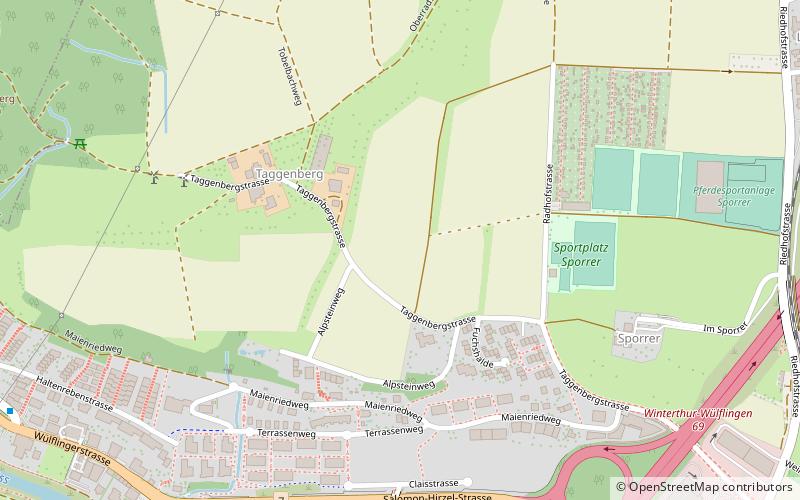
Wülflingen is a district in the Swiss city of Winterthur, situated in the lower Töss Valley. It is district number six, and comprises the quarters Weinberg, Oberfeld, Lindenplatz, Niederfeld, Neuburg, Hardau, Härti and Taggenberg. ()
Address
Winterthur
ContactAdd
Social media
Add
Getting there by public transportation
Public transportation stops near this location
- Bus
- Trolleybus
- Train
 Bus
Bus
- Calculate routeHardau 3 min walk
- Calculate routeNiederfeld 4 min walk
- Calculate routeSchulhaus Wyden 4 min walk
- Calculate routeFreibad Wülflingen 5 min walk
- Calculate routeWinterthur Wülflingen 7 min walk
- Calculate routeLangwiesen 8 min walk
- Calculate routeAutobahn 8 min walk
- Calculate routeWülflingen 9 min walk
- Calculate routeLindenplatz 13 min walk
Day trips


Frequently Asked Questions (FAQ)
Which popular attractions are close to Wülflingen?
Nearby attractions include oxyd Kunsträume, Winterthur (8 min walk), Hardau, Winterthur (8 min walk), Taggenberg, Winterthur (17 min walk), Alt-Wülflingen Castle, Winterthur (19 min walk).
How to get to Wülflingen by public transport?
The nearest stations to Wülflingen:
Bus
Train
Trolleybus
Bus
- Hardau • Lines: 7, N59 (3 min walk)
- Niederfeld • Lines: 7, N59 (4 min walk)
Train
- Winterthur Wülflingen (7 min walk)
Trolleybus
- Langwiesen • Lines: 2 (8 min walk)
- Autobahn • Lines: 2 (8 min walk)