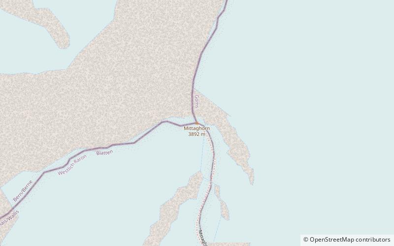
Mittaghorn
#600 among destinations in Switzerland

Facts and practical information
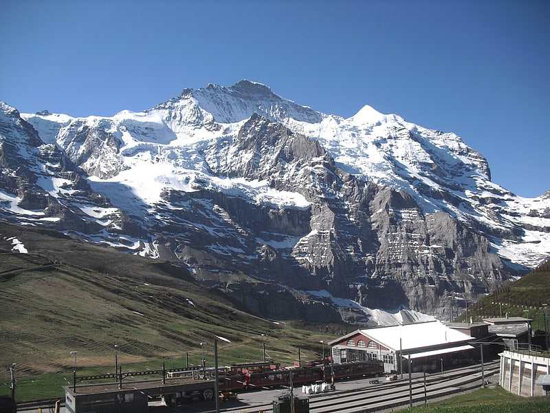
The Mittaghorn is a mountain of the Bernese Alps, located on the border between the cantons of Bern and Valais. It is situated in the middle of the Lauterbrunnen Wall. ()
BernSwitzerland
Mittaghorn plan & book
Unleash the traveler in you — discover the cheapest flight deals, find the perfect hotel or hostel nearby, and search for the best car rental prices. Travel at your own pace to discover new places and enjoy your journey.
Mittaghorn – popular in the area (distance from the attraction)
Nearby attractions include: Jungfrau, Hollandia Hut, Jungfraujoch, Aletschhorn.
 Alpine summit with railway and ice palace
Jungfrau
77 min walk • Nestled amidst the majestic Swiss Alps, Jungfrau stands as a beacon of natural splendor, drawing adventurers and nature enthusiasts from across the globe. Towering at an elevation of 4,158 meters, this awe-inspiring mountain is part of the Bernese Alps and represents...
 Hiking, Alpine hut, Vernacular architecture
Hollandia Hut, Swiss Alps Jungfrau-Aletsch
53 min walk • The Hollandia Hut is a mountain hut of the Swiss Alpine Club, located east of Blatten in the canton of Valais. The hut lies at a height of 3,240 metres above sea level, just above the Lötschenlücke, the glacier pass connecting the Lötschental from the Aletsch Glacier.
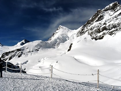
 Train ride to a high-altitude glacier
Jungfraujoch, Swiss Alps Jungfrau-Aletsch
104 min walk • The Jungfraujoch is a saddle connecting two major 4000ers of the Bernese Alps: the Jungfrau and the Mönch. It lies at an elevation of 3,463 metres above sea level and is directly overlooked by the rocky prominence of the Sphinx.
 Natural attraction, Nature, Mountain
Aletschhorn, Swiss Alps Jungfrau-Aletsch
94 min walk • The Aletschhorn is a mountain in the Alps in Switzerland, lying within the Jungfrau-Aletsch region, which has been designated a World Heritage Site by UNESCO. The mountain shares part of its name with the Aletsch Glacier lying at its foot.
 Nature, Natural attraction, Mountain
Rottalhorn
73 min walk • The Rottalhorn is a mountain of the Bernese Alps, located on the border between the Swiss cantons of Bern and Valais. It lies 600 m south of the Jungfrau, between the small valley of the Rottal and the Jungfraufirn.
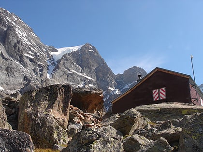 Alpine hut, Hiking
Rottal Hut
52 min walk • The Rottal Hut is a mountain hut of the Swiss Alpine Club, located south of Lauterbrunnen in the canton of Bern. It lies at a height of 2,755 metres above sea level, above the Rottal Glacier on the western slopes of the Jungfrau.
 Nature, Natural attraction, Mountain
Ebnefluh
31 min walk • The Ebnefluh, also known as the Äbeni Flue and the Ebenefluh, is a mountain of the Bernese Alps, located on the border between the Swiss cantons of Bern and Valais. It lies towards the eastern end of the Lauterbrunnen Wall.
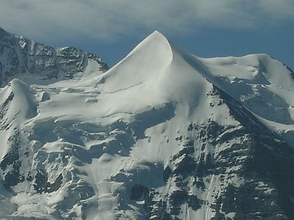 Triangular-shape alpine mountain peak
Silberhorn, Mürren
80 min walk • The Silberhorn is a pyramid-shaped mountain of the Bernese Alps, to the northwest of the Jungfrau of which it is a satellite peak. A first attempt to reach the summit of the Silberhorn was made in June 1863 by M. v. Fellenberg from the Stufensteinalp on the east side of the valley of Lauterbrunnen.
 Mountain for skiing and ski touring
Gletscherhorn
50 min walk • The Gletscherhorn is a mountain of the Bernese Alps, located on the border between the Swiss cantons of Bern and Valais. It forms the eastern edge of the Lauterbrunnen Wall, south of the Jungfrau.
 Notable peak for hiking and cable car ride
Breithorn
76 min walk • The Breithorn, is a mountain of the Bernese Alps, located on the border between the Swiss cantons of Bern and Valais. It is part of the border between Lauterbrunnental and the Lötschental.
 Sizable peak with climbing access
Grosshorn
34 min walk • The Grosshorn is a mountain of the Bernese Alps, located on the border between the Swiss cantons of Bern and Valais. It is situated in the middle of the Lauterbrunnen Wall.