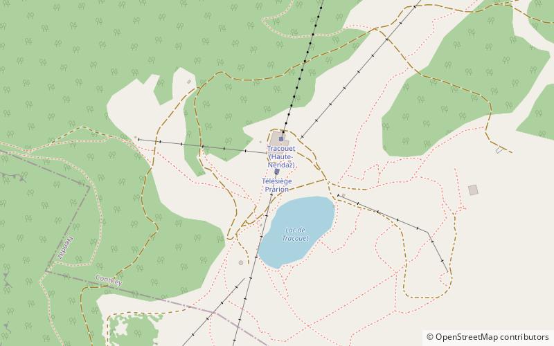
Lac de Tracouet
#391 among destinations in Switzerland
![Lac de Tracouet location map](https://tzmedia.b-cdn.net/media/images/static-maps/ch/46_1611_7_28314.jpg)
Facts and practical information
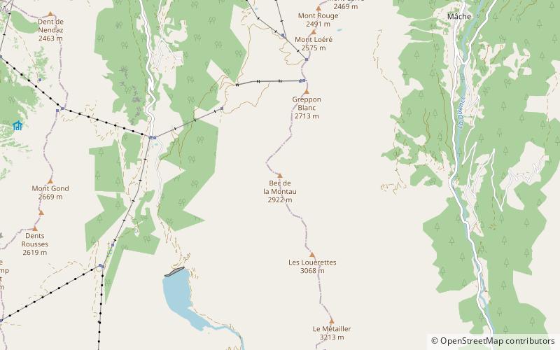
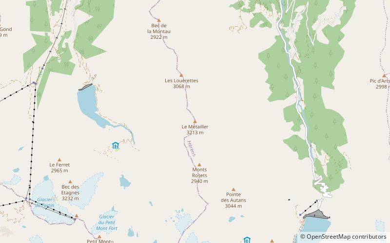
Lac de Tracouet is a lake in the Nendaz municipality in the canton of Valais, Switzerland. It is situated at the foot of the Dent de Nendaz at an elevation of 2,171 m. ()
ValaisSwitzerland
Lac de Tracouet plan & book
Unleash the traveler in you — discover the cheapest flight deals, find the perfect hotel or hostel nearby, and search for the best car rental prices. Travel at your own pace to discover new places and enjoy your journey.
Lac de Tracouet – popular in the area (distance from the attraction)
Nearby attractions include: Saillon Castle, Lac de Cleuson, Pierre Avoi, Mont Gelé.
4.8 miWForts and castlesSaillon Castle, Saillon
123 min walk • Saillon Castle or Bayard Tower is a ruined castle in the municipality of Saillon of the Canton of Valais in Switzerland. It is a Swiss heritage site of national significance.
4.2 miSENature, Natural attraction, LakeLac de Cleuson
106 min walk • Lac de Cleuson is a reservoir in the municipality of Nendaz, Valais, Switzerland. Its surface area is 0.51 km². Water from the reservoir is often pumped into the Grande Dixence Dam's reservoir, Lac des Dix, for use in hydroelectricity production.
5 miSWNature, Natural attraction, MountainPierre Avoi, Verbier
127 min walk • The Pierre Avoi is a mountain of the Swiss Pennine Alps, overlooking Saxon in the canton of Valais. It is located on the chain between the main Rhone valley and the valley of Bagnes.
4.4 miSNature, Natural attraction, MountainMont Gelé, Verbier
112 min walk • Mont Gelé is a mountain of the Pennine Alps, part of the Municipality Riddes and overlooking Verbier in the Swiss canton of Valais. Located on the range north of Mont Fort, its summit is the tripoint between the municipalities of Bagnes, Riddes and Nendaz.
0.5 miSENature, Natural attraction, MountainDent de Nendaz
14 min walk • The Dent de Nendaz is a mountain of the Swiss Pennine Alps, overlooking Nendaz in the canton of Valais. Its 2,463-metre-high summit can be easily reached from the cable car station of Tracouet.
5.2 miWForts and castlesSaxon Castle, Saxon
133 min walk • Saxon Castle is a ruined castle in the municipality of Saxon of the Canton of Valais in Switzerland.
3.7 miSNature, Natural attraction, LakeLac des Vaux, Verbier
96 min walk • Lac des Vaux is a lake above Verbier in the canton of Valais, Switzerland. The lake is located in the municipality of Riddes.
3.8 miSENature, Natural attraction, MountainBec de la Montau
98 min walk • The Bec de la Montau is a mountain of the Pennine Alps, located south of Nendaz in the Swiss canton of Valais. It lies on the range that separates the Val de Nendaz from the Val d'Hérémence, which culminates at Le Métailler.
4.7 miNWNature, Natural attraction, MountainL'Ardève
119 min walk • L'Ardève is a mountain of the western Bernese Alps, overlooking the Rhone valley at Leytron, in the canton of Valais. Although L'Ardève has a moderate elevation, it has very high cliffs on its south side and its summit offers a good vantage point over the Rhone valley.
5.4 miSENature, Natural attraction, MountainLe Métailler
138 min walk • Le Métailler is a mountain of the Pennine Alps, overlooking the lake of Cleuson in the canton of Valais.
3.5 miNELocalityVeysonnaz
89 min walk • Veysonnaz is a municipality in the district of Sion in the Swiss canton of Valais.