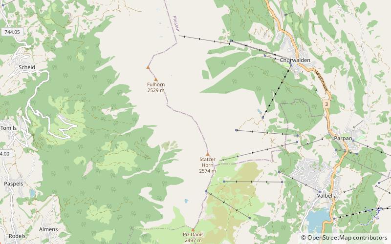
Stätzerhorn, Lenzerheide
Map

Map

Facts and practical information
The Stätzerhorn is a mountain of the Plessur Alps, overlooking Lenzerheide in the canton of Graubünden. With an elevation of 2,575 metres above sea level, the Stätzerhorn is the culminating point of the range that lies west of the Lenzerheide Pass. Several trails lead to the top from both sides of the mountain. In winter the Stätzerhorn is part of a ski area. ()
Address
Lenzerheide
ContactAdd
Social media
Add
Day trips
Stätzerhorn – popular in the area (distance from the attraction)
Nearby attractions include: Vaz/Obervaz, Heidsee, Ortenstein Castle, Rietberg Castle.


