Untertorbrücke, Berne
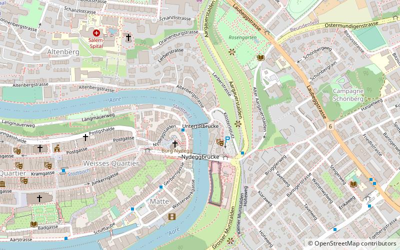
Map
Gallery
Facts and practical information
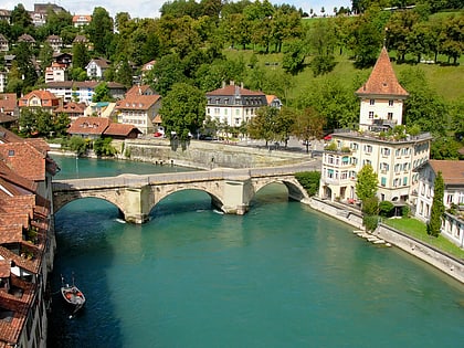
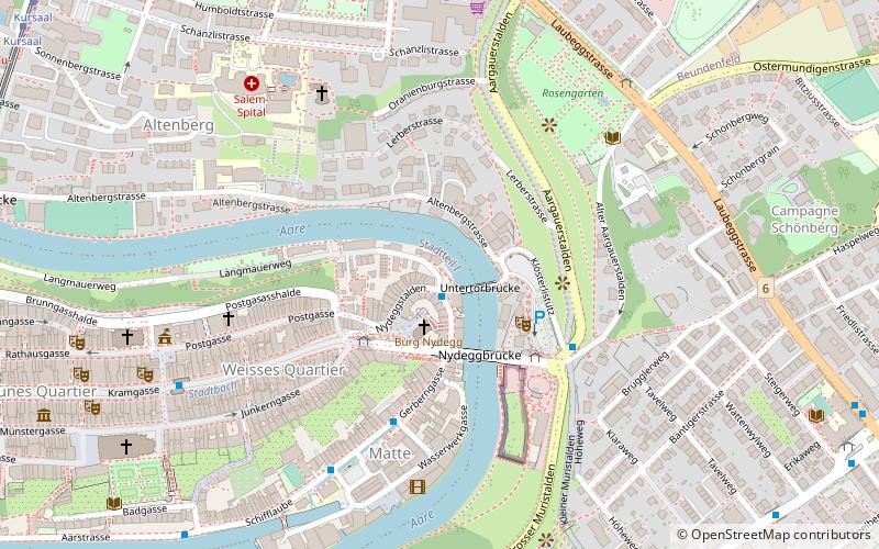
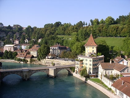
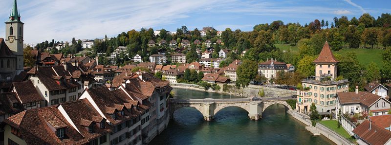
The Untertorbrücke is a stone arch bridge that spans the Aare at the easternmost point of the Enge peninsula in the city of Bern, Switzerland, connecting the Mattequartier in the Old City to the Schosshalde neighbourhood. Built in its current form in 1461–89, it is the oldest of Bern's Aare bridges, and was the city's only bridge up until the middle of the 19th century. It is a Swiss heritage site of national significance. ()
Alternative names: Completed: 1489 (537 years ago)Length: 172 ftWidth: 25 ftHeight: 27 ftCoordinates: 46°56'58"N, 7°27'30"E
Address
Breitenrain-Lorraine (Altenberg)Berne
ContactAdd
Social media
Add
Day trips
Untertorbrücke – popular in the area (distance from the attraction)
Nearby attractions include: Kramgasse, Bern Minster, Bärengraben, Nydeggkirche.
Frequently Asked Questions (FAQ)
Which popular attractions are close to Untertorbrücke?
Nearby attractions include Mattequartier, Berne (1 min walk), Felsenburg, Berne (1 min walk), Ländtetor, Berne (1 min walk), Läuferbrunnen, Berne (1 min walk).
How to get to Untertorbrücke by public transport?
The nearest stations to Untertorbrücke:
Bus
Trolleybus
Tram
Train
Light rail
Bus
- Läuferplatz • Lines: 30 (1 min walk)
- Bärenpark • Lines: M3 (3 min walk)
Trolleybus
- Bärenpark • Lines: 12 (3 min walk)
- Nydegg • Lines: 12 (4 min walk)
Tram
- Kursaal • Lines: 9 (13 min walk)
- Zytglogge • Lines: 6, 7, 8, 9 (14 min walk)
Train
- Marzili (20 min walk)
- Bern DMB (21 min walk)
Light rail
- Bern RBS • Lines: Re, S7, S8, S9 (23 min walk)
