Bironico
#2263 among destinations in Switzerland

Facts and practical information
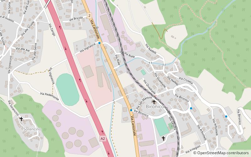
Bironico is a village in the northern end of the district of Lugano in the canton of Ticino in Switzerland. ()
Bironico – popular in the area (distance from the attraction)
Nearby attractions include: Lago d'Origlio, Monte Tamaro, Monte Gradiccioli, Splash & Spa Tamaro.
 Nature, Natural attraction, Lake
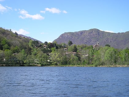
Lago d'Origlio
114 min walk • Lago d'Origlio is a lake in the municipality of Origlio, in Ticino, Switzerland. Palaeobotanics studied the core of the lake sediment and discovered charcoal deposits as well as cereal pollen and invasive weeds, pointing to the first agricultural activities between 7,500 and...
 Highest summit of the Lugano Prealps
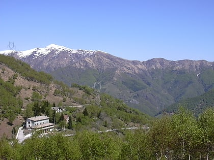
Monte Tamaro
82 min walk • Monte Tamaro is a mountain of the Lugano Prealps, overlooking Lake Maggiore in the Swiss canton of Ticino. Reaching a height of 1,962 metres above sea level, it is the highest summit of the chain located between Lake Maggiore and Lake Lugano, which also includes Monte Lema.
 Nature, Natural attraction, Mountain
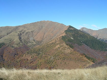
Monte Gradiccioli
97 min walk • Monte Gradiccioli is a mountain of the Lugano Prealps, located between Indemini and Sigirino in the canton of Ticino. It lies south of Monte Tamaro, on the range between Lake Maggiore and Lake Lugano.
 46°7'34"N • 8°55'17"E
Splash & Spa Tamaro, Pura
24 min walk • Watersports, Hammams and turkish baths, Spa
 Nature, Natural attraction, Mountain
Monte Gambarogno
123 min walk • Monte Gambarogno is a mountain of the Lugano Prealps, overlooking Lake Maggiore in the canton of Ticino. It lies on the range between Lake Maggiore and Lake Lugano, culminating at Monte Tamaro.
 Nature, Natural attraction, Mountain
Monte Bar
100 min walk • Monte Bar is a mountain of the Lugano Prealps, located north of Lugano in the canton of Ticino, Switzerland. It lies on the range west of the Gazzirola, between the Val d'Isone and the Val Colla.
 Tower
TowerCeneri 3
45 min walk • The Monte Ceneri transmitter was first established as the nationwide medium-wave radio transmission station for Italian-speaking Switzerland in 1933. Located on Monte Ceneri in Ticino, it broadcast on a frequency of 558 kHz.
 Nature, Natural attraction, Valley
Val Colla
142 min walk • The Val Colla is a valley and a quarter of the city of Lugano in the Swiss canton of Ticino, to the north-east of the city of Lugano.
 Nature, Natural attraction, Mountain pass
Monte Ceneri
52 min walk • Monte Ceneri is a mountain pass in the canton of Ticino in Switzerland. It connects the Magadino Plain and the Vedeggio Valley across the Lugano Prealps at an elevation of 554 metres above sea level. It provides the most direct route between the cities of Bellinzona and Lugano.
 Scenic mountain pass with winding road
Alpe di Neggia
104 min walk • Alpe di Neggia is a high mountain pass in the Swiss Alps in the canton of Ticino in Switzerland. It connects Vira and Indemini. The pass lies in the saddle between Monte Tamaro and Monte Gambarogno. The maximum grade of the pass road is 12 percent.
