Muttler

Gallery (1)
Map
Map
Facts and practical information
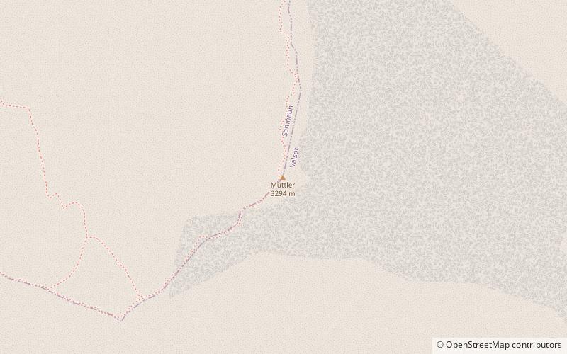
The Muttler is the highest mountain in the Samnaun Alps. It is located south of Samnaun in the Swiss canton of Graubünden. From 1972 - 2011 a transmitter was located west of the summit. ()
Alternative names: First ascent: 1859Elevation: 10807 ftProminence: 2306 ftCoordinates: 46°54'3"N, 10°22'44"E
Location
Graubünden
ContactAdd
Social media
Add
Day trips