Corviglia, St. Moritz
Map

Map

Facts and practical information
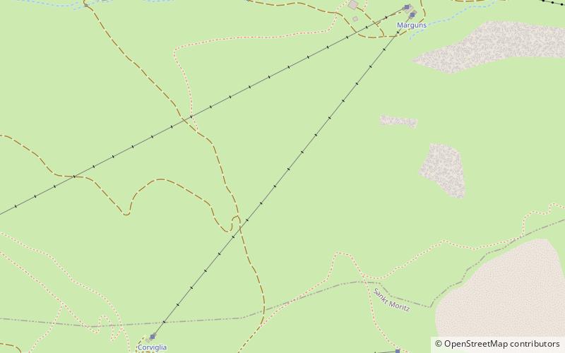
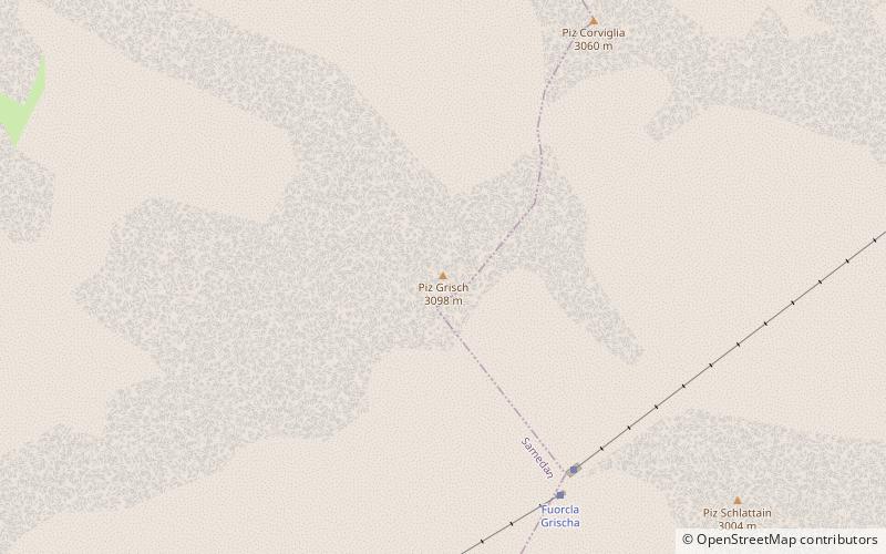
Corviglia is a location on the eastern slopes of Piz Nair, overlooking St. Moritz in the canton of Graubünden. It lies on the watershed between the rivers Schlattain and the Ovel da la Resgia, at an elevation of 2,486 m. Corviglia is mainly accessible from the town by the St. Moritz–Corviglia funicular, via Chantarella. At Corviglia, an aerial tramway climbs west to Piz Nair, unloading slightly below its summit. ()
Elevation: 8156 ftCoordinates: 46°30'45"N, 9°49'19"E
Address
St. Moritz
ContactAdd
Social media
Add
Day trips
Corviglia – popular in the area (distance from the attraction)
Nearby attractions include: Celerina/Schlarigna, Lake St. Moritz, St. Moritz-Celerina Olympic Bobrun, Cresta Run.
Frequently Asked Questions (FAQ)
How to get to Corviglia by public transport?
The nearest stations to Corviglia:
Bus
Bus
- St. Moritz Bahnhof • Lines: 182, 631, 705 (39 min walk)
- St. Moritz, Bahnhof • Lines: 4 (39 min walk)


