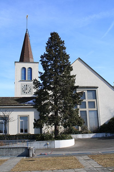
Renens, Lausanne
Map
Gallery
Facts and practical information
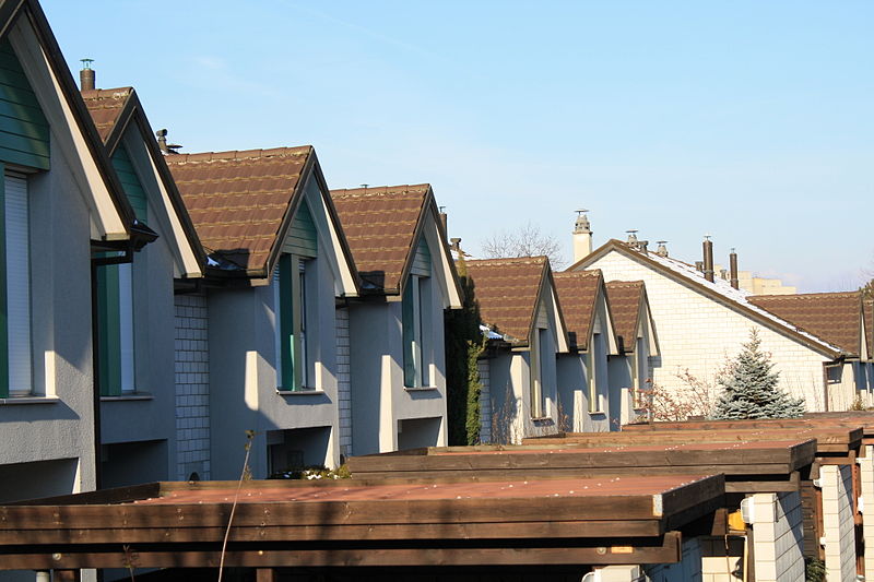
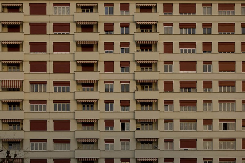
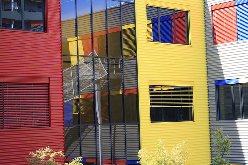
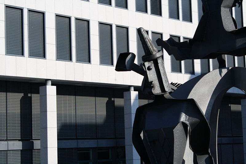
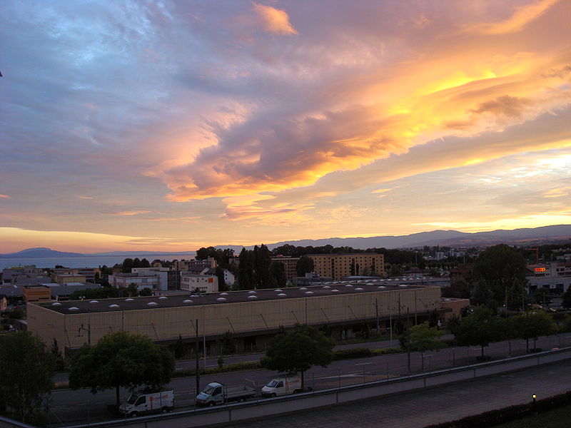
Renens is a municipality in the canton of Vaud, Switzerland. It is located in the district of Ouest Lausannois, and is a suburb of the city of Lausanne. It is the fourth largest city in the canton. It is considered a very multiethnic town, as more than 50% of the inhabitants are resident foreign nationals from about a hundred different countries. ()
Day trips
Renens – popular in the area (distance from the attraction)
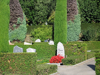
Nearby attractions include: Le Cube, Bois-de-Vaux Cemetery, Musée Bolo, Rolex Learning Center.
Frequently Asked Questions (FAQ)
Which popular attractions are close to Renens?
Nearby attractions include Ouest Lausannois District, Lausanne (7 min walk), Prilly, Lausanne (21 min walk).
How to get to Renens by public transport?
The nearest stations to Renens:
Bus
Train
Light rail
Trolleybus
Bus
- Hôtel-de-Ville • Lines: 17, 19 (2 min walk)
- Sous l'Église • Lines: 17, 19 (3 min walk)
Train
- Renens (11 min walk)
- Prilly-Malley (25 min walk)
Light rail
- Renens-Gare (12 min walk)
- Malley (28 min walk)
Trolleybus
- Prilly, Église • Lines: 9 (16 min walk)
- Perréaz • Lines: 9 (19 min walk)


