Ruine Wolkenstein

Gallery (1)
Map
Map
Facts and practical information
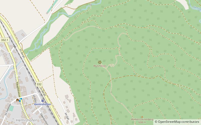
Wolkenstein Ruin is a rock castle built in the 12th century and now demolished in the canton of Schaffhausen in Switzerland. The castle stable is located on a rocky spur on the Wolkensteinerberg the last spur of the Schiener Berg high above Hemishofen. To the east of Wolkenstein Castle stands Hohenklingen Castle.
Coordinates: 47°40'49"N, 8°50'17"E
Location
Schaffhausen
ContactAdd
Social media
Add
Day trips