Klingnauer Stausee

Gallery (1)
Map
Map
Facts and practical information
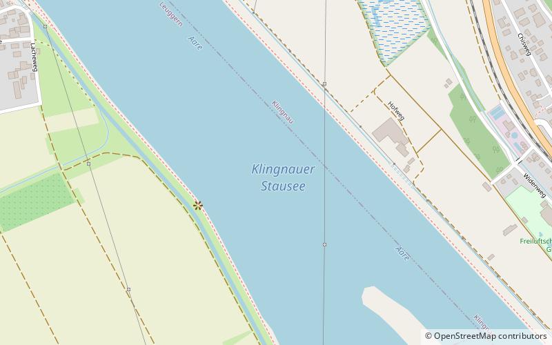
The Klingnauer Stausee is a reservoir near Böttstein, canton of Aargau, Switzerland, at 47°35′N 8°14′E. The reservoir with a surface of 1.16 km2 was formed at the construction of a power plant on the Aare river in the 1930s. ()
Alternative names: Area: 0.45 mi²Length: 9843 ftWidth: 1640 ftMaximum depth: 28 ftElevation: 1030 ft a.s.l.Coordinates: 47°35'6"N, 8°14'5"E
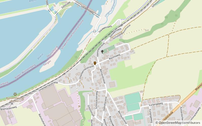
Location
Aargau
ContactAdd
Social media
Add
Day trips