District 9, Zurich
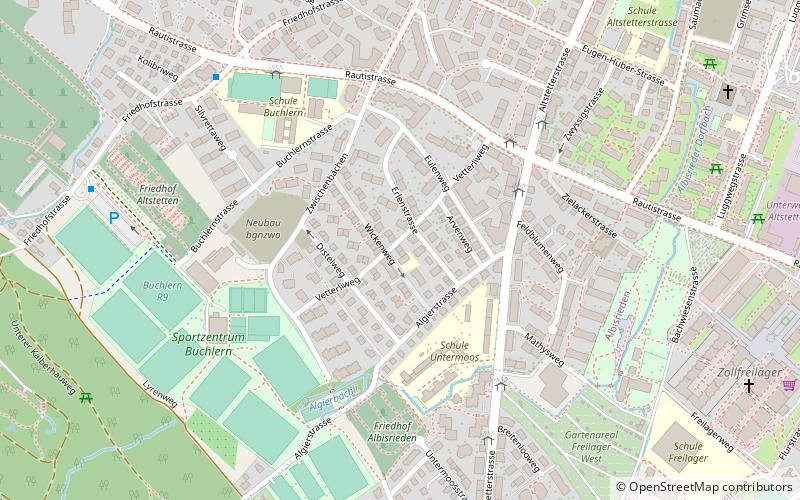
Map
Facts and practical information
District 9 is a district in the Swiss city of Zürich. ()
Address
Kreis 9 (Altstetten)Zurich
ContactAdd
Social media
Add
Getting there by public transportation
Public transportation stops near this location
- Bus
- Trolleybus
- Tram
- Train
 Bus
Bus
- Calculate routeRautistrasse 4 min walk
- Calculate routeUntermoosstrasse 5 min walk
- Calculate routeSchulhaus Buchlern 7 min walk
- Calculate routeFriedhof Eichbühl 9 min walk
- Calculate routeLindenplatz 12 min walk
- Calculate routeBachmattstrasse 13 min walk
- Calculate routeGrimselstrasse 14 min walk
- Calculate routeFellenbergstrasse 14 min walk
- Calculate routeFarbhof 17 min walk
- Calculate routeSeidelhof 18 min walk
- Calculate routeBahnhof Altstetten 18 min walk
- Calculate routeLetzibach 21 min walk
- Calculate routeZürich Altstetten 19 min walk
- Calculate routeUitikon Waldegg 34 min walk
- Calculate routeZürich Triemli 35 min walk
- Calculate routeZürich Schweighof 40 min walk
Day trips


Frequently Asked Questions (FAQ)
Which popular attractions are close to District 9?
Nearby attractions include Altstetten, Zurich (12 min walk), Albisrieden, Zurich (20 min walk).
How to get to District 9 by public transport?
The nearest stations to District 9:
Bus
Tram
Trolleybus
Train
Bus
- Rautistrasse • Lines: 67, 78, 80, N13 (4 min walk)
- Untermoosstrasse • Lines: 67, 80 (5 min walk)
Tram
- Lindenplatz • Lines: 2 (12 min walk)
- Bachmattstrasse • Lines: 2 (13 min walk)
Trolleybus
- Farbhof • Lines: 31 (17 min walk)
- Seidelhof • Lines: 31 (18 min walk)
Train
- Zürich Altstetten (19 min walk)
- Uitikon Waldegg (34 min walk)